File:NZSouthIsland-ca.png
Jump to navigation
Jump to search
No higher resolution available.
NZSouthIsland-ca.png (259 × 309 pixels, file size: 34 KB, MIME type: image/png)
Captions
Captions
Add a one-line explanation of what this file represents
| Description |
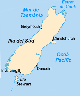
English: Map of the South Island of New Zealand in Catalan.
Español: Mapa de la isla del Sur de Nueva Zelanda en catalán. |
| Date | |
| Source | File:NZSouthIsland.png |
| Author | JaumeBG |
| Other versions |
|


This image is in the public domain because it contains materials that originally came from the United States Central Intelligence Agency's World Factbook.
|
 |
File history
Click on a date/time to view the file as it appeared at that time.
| Date/Time | Thumbnail | Dimensions | User | Comment | |
|---|---|---|---|---|---|
| current | 12:10, 18 February 2012 | | 259 × 309 (34 KB) | JaumeBG (talk | contribs) | {{Information |Description ={{ca|1=Mapa de l'illa del Sud de Nova Zelanda.}} {{en|1=Map of the South Island of New Zealand in Catalan.}} {{es|1=Mapa de la isla del Sur de Nueva Zelanda en catalán.}} |Source |
You cannot overwrite this file.
File usage on Commons
The following 5 pages use this file: