File:NSW TrainLink XPT Jindalee - Morrisons Hill (cropped).jpg
Jump to navigation
Jump to search

Size of this preview: 800 × 481 pixels. Other resolutions: 320 × 193 pixels | 640 × 385 pixels | 1,024 × 616 pixels | 1,280 × 770 pixels | 2,560 × 1,540 pixels | 3,520 × 2,118 pixels.
Original file (3,520 × 2,118 pixels, file size: 1.96 MB, MIME type: image/jpeg)
Captions
Captions
Add a one-line explanation of what this file represents
Summary
[edit]| Description |
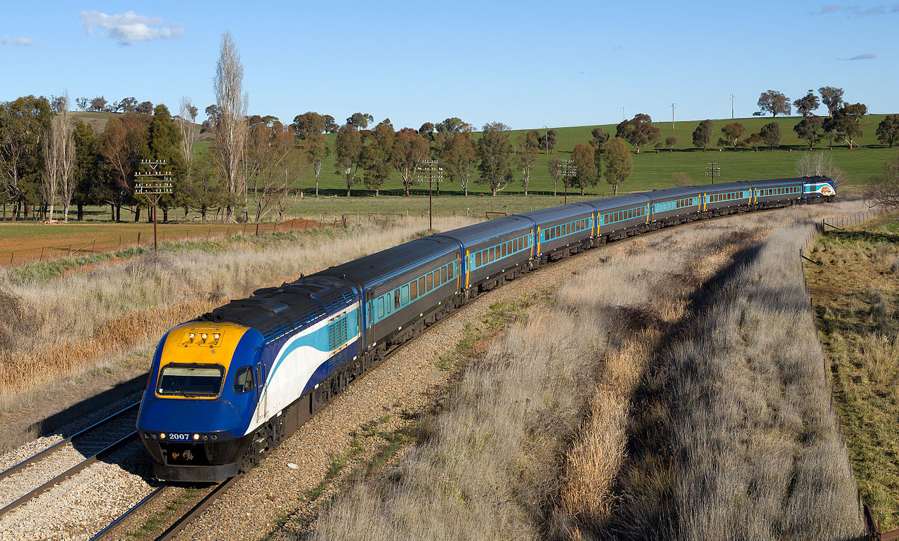
English: A New South Wales TrainLink XPT set is en route from Melbourne to Sydney, pictured between Jindalee and Morrisons Hill, New South Wales, Australia. Deutsch: Ein XPT der New South Wales TrainLink ist auf dem Weg von Melbourne nach Sydney, aufgenommen zwischen Jindalee und Morrisons Hill, New South Wales, Australien. |
| Date | |
| Source | Own work, also available at https://bahnbilder.ch/picture/18793 |
| Author | Kabelleger / David Gubler |
| Camera location | | View this and other nearby images on: OpenStreetMap |
|---|
Licensing
[edit]I, the copyright holder of this work, hereby publish it under the following license:
This file is licensed under the Creative Commons Attribution-Share Alike 4.0 International license.
- You are free:
- to share – to copy, distribute and transmit the work
- to remix – to adapt the work
- Under the following conditions:
- attribution – You must give appropriate credit, provide a link to the license, and indicate if changes were made. You may do so in any reasonable manner, but not in any way that suggests the licensor endorses you or your use.
- share alike – If you remix, transform, or build upon the material, you must distribute your contributions under the same or compatible license as the original.

.jpg&action=edit§ion=1)
.jpg¶ms=-34.561980_N_0148.098047_E_globe:Earth_type:camera_heading:167.00&language=en)
.jpg&action=edit§ion=2)
File history
Click on a date/time to view the file as it appeared at that time.
| Date/Time | Thumbnail | Dimensions | User | Comment | |
|---|---|---|---|---|---|
| current | 16:33, 6 April 2016 | | 3,520 × 2,118 (1.96 MB) | EveryPicture (talk | contribs) | File:NSW TrainLink XPT Jindalee - Morrisons Hill.jpg cropped 37 % horizontally and 39 % vertically using CropTool with lossless mode. |
You cannot overwrite this file.
File usage on Commons
There are no pages that use this file.
File usage on other wikis
The following other wikis use this file:
- Usage on de.wikipedia.org
- Usage on en.wikipedia.org
.jpg&oldid=848654694)