File:NSG Gehspitzweiher 06 SW.jpg
Jump to navigation
Jump to search

Size of this preview: 450 × 600 pixels. Other resolutions: 180 × 240 pixels | 360 × 480 pixels | 576 × 768 pixels | 768 × 1,024 pixels | 1,536 × 2,048 pixels | 2,736 × 3,648 pixels.
Original file (2,736 × 3,648 pixels, file size: 5.05 MB, MIME type: image/jpeg)
Captions
Captions
Add a one-line explanation of what this file represents
Summary[edit]
| Description |
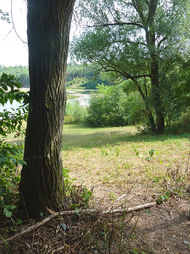
Deutsch: Der Gehspitzweiher ist ein von Menschenhand angelegtes Stillgewässer im Wald bei Neu-Isenburg im Landkreis Offenbach. Die ehemalige Kiesgrube ist der Mittelpunkt des Naturschutzgebiets Gehspitzweiher bei Neu-Isenburg (NSG-Kennung 1438005). Im Bild eine hochsommerliche Ansicht des Weihers vom Rundwanderweg um das Gewässer aus, Blick vom südwestlichen Ufer |
| Date | |
| Source | Self-photographed |
| Author | Frank Behnsen |
| Camera location | | View this and other nearby images on: OpenStreetMap |
|---|
Licensing[edit]
Frank Behnsen, the copyright holder of this work, hereby publishes it under the following licenses:

|
Permission is granted to copy, distribute and/or modify this document under the terms of the GNU Free Documentation License, Version 1.2 or any later version published by the Free Software Foundation; with no Invariant Sections, no Front-Cover Texts, and no Back-Cover Texts. A copy of the license is included in the section entitled GNU Free Documentation License. |
This file is licensed under the Creative Commons Attribution-Share Alike 3.0 Unported, 2.5 Generic, 2.0 Generic and 1.0 Generic license.
Attribution: Frank Behnsen
- You are free:
- to share – to copy, distribute and transmit the work
- to remix – to adapt the work
- Under the following conditions:
- attribution – You must give appropriate credit, provide a link to the license, and indicate if changes were made. You may do so in any reasonable manner, but not in any way that suggests the licensor endorses you or your use.
- share alike – If you remix, transform, or build upon the material, you must distribute your contributions under the same or compatible license as the original.
You may select the license of your choice.
File history
Click on a date/time to view the file as it appeared at that time.
| Date/Time | Thumbnail | Dimensions | User | Comment | |
|---|---|---|---|---|---|
| current | 22:21, 20 August 2018 | | 2,736 × 3,648 (5.05 MB) | Frank Behnsen (talk | contribs) | == {{int:filedesc}} == {{Information |Description={{de|1=Der Gehspitzweiher ist ein von Menschenhand angelegtes Stillgewässer im Wald bei Neu-Isenburg im Landkreis Offenbach. Die ehemalige Kiesgrube ist der Mittelpunkt des Naturschutzgebiets ''Gehspitzweiher bei Neu-Isenburg'' (NSG-Kennung 1438005). Im Bild eine hochsommerliche Ansicht des Weihers vom Rundwanderweg um das Gewässer aus, Blick vom südwestlichen Ufer}} |Source={{self-photographed}} |Date=2... |
You cannot overwrite this file.
File usage on Commons
The following page uses this file: