File:NA Adršpach.png
Jump to navigation
Jump to search
Size of this preview: 800 × 589 pixels. Other resolutions: 320 × 236 pixels | 640 × 471 pixels | 1,024 × 754 pixels | 1,280 × 943 pixels | 1,544 × 1,137 pixels.
Original file (1,544 × 1,137 pixels, file size: 55 KB, MIME type: image/png)
Captions
Captions
Add a one-line explanation of what this file represents

|
This locator map image could be re-created using vector graphics as an SVG file. This has several advantages; see Commons:Media for cleanup for more information. If an SVG form of this image is available, please upload it and afterwards replace this template with
{{vector version available|new image name}}.
It is recommended to name the SVG file “NA Adršpach.svg”—then the template Vector version available (or Vva) does not need the new image name parameter. |
Summary
[edit]
| Description |
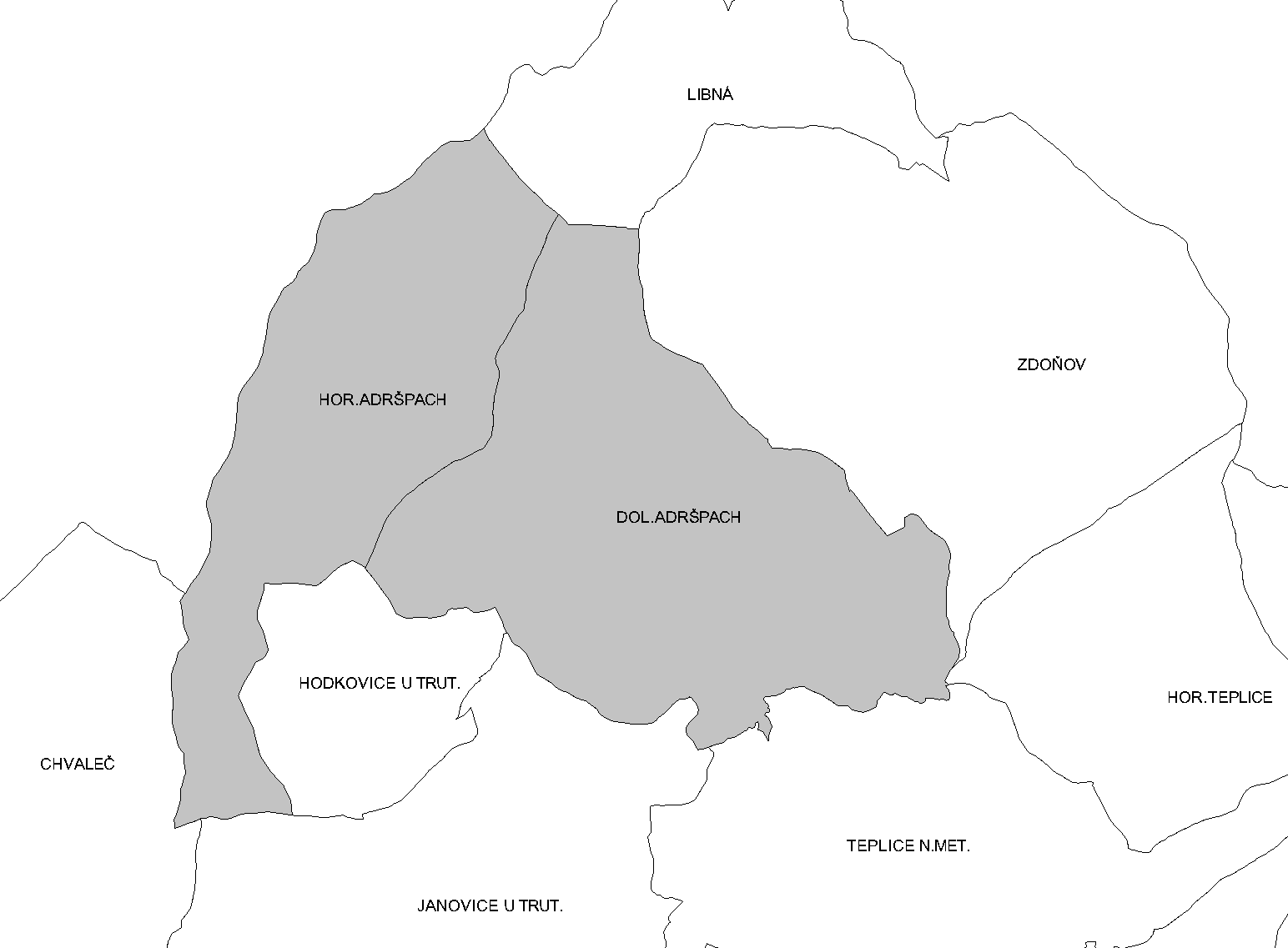
Čeština: Katastrální členění Adršpachu |
| Source | Own work |
| Author | JAn Dudík |
Licensing
[edit]
| I, the copyright holder of this work, release this work into the public domain. This applies worldwide. In some countries this may not be legally possible; if so: I grant anyone the right to use this work for any purpose, without any conditions, unless such conditions are required by law. |
File history
Click on a date/time to view the file as it appeared at that time.
| Date/Time | Thumbnail | Dimensions | User | Comment | |
|---|---|---|---|---|---|
| current | 17:36, 6 May 2012 | | 1,544 × 1,137 (55 KB) | Fext (talk | contribs) | Zpřehlednění |
| 21:48, 28 September 2009 |  | 1,544 × 1,137 (38 KB) | JAn Dudík (talk | contribs) | {{Information |Description={{cs|1=Katastrální členění Adršpachu}} |Source=own work |Author=Jan Dudík |Date= |Permission= |other_versions= }} Category:Adršpach Category:Cadastral maps of the Náchod District |
You cannot overwrite this file.
File usage on Commons
The following page uses this file: