File:Myanmar-outline-map.png
Jump to navigation
Jump to search
No higher resolution available.
Myanmar-outline-map.png (240 × 350 pixels, file size: 7 KB, MIME type: image/png)
Captions
Captions
Add a one-line explanation of what this file represents
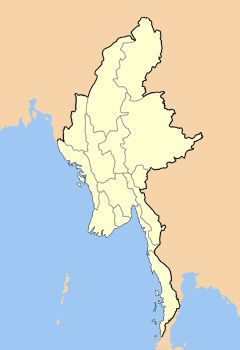
| Description | Map outlining the states and divisions of Myanmar (formerly Burma). | ||
| Date | |||
| Source | Own work on Adobe Photoshop | ||
| Author | User:Hintha | ||
| Permission (Reusing this file) |
|
File history
Click on a date/time to view the file as it appeared at that time.
| Date/Time | Thumbnail | Dimensions | User | Comment | |
|---|---|---|---|---|---|
| current | 20:48, 13 May 2008 | | 240 × 350 (7 KB) | Mahahahaneapneap (talk | contribs) | Compressed |
| 06:26, 14 February 2007 |  | 240 × 350 (7 KB) | Hintha (talk | contribs) | {{Information |Description=Map outlining the states and divisions of Myanmar (formerly Burma). |Source=Own work on Adobe Photoshop |Date=2006-07-12 |Author=User:Hintha |Permission={{pd-self}} |other_versions= }} |
You cannot overwrite this file.
File usage on Commons
There are no pages that use this file.
File usage on other wikis
The following other wikis use this file:
- Usage on cv.wikipedia.org
- Usage on de.wikipedia.org
- Usage on en.wikipedia.org
- Usage on fr.wikipedia.org