File:Mt Harun from Taybe.JPG
Original file (1,600 × 891 pixels, file size: 301 KB, MIME type: image/jpeg)
Captions
Captions
Summary[edit]
| Description |
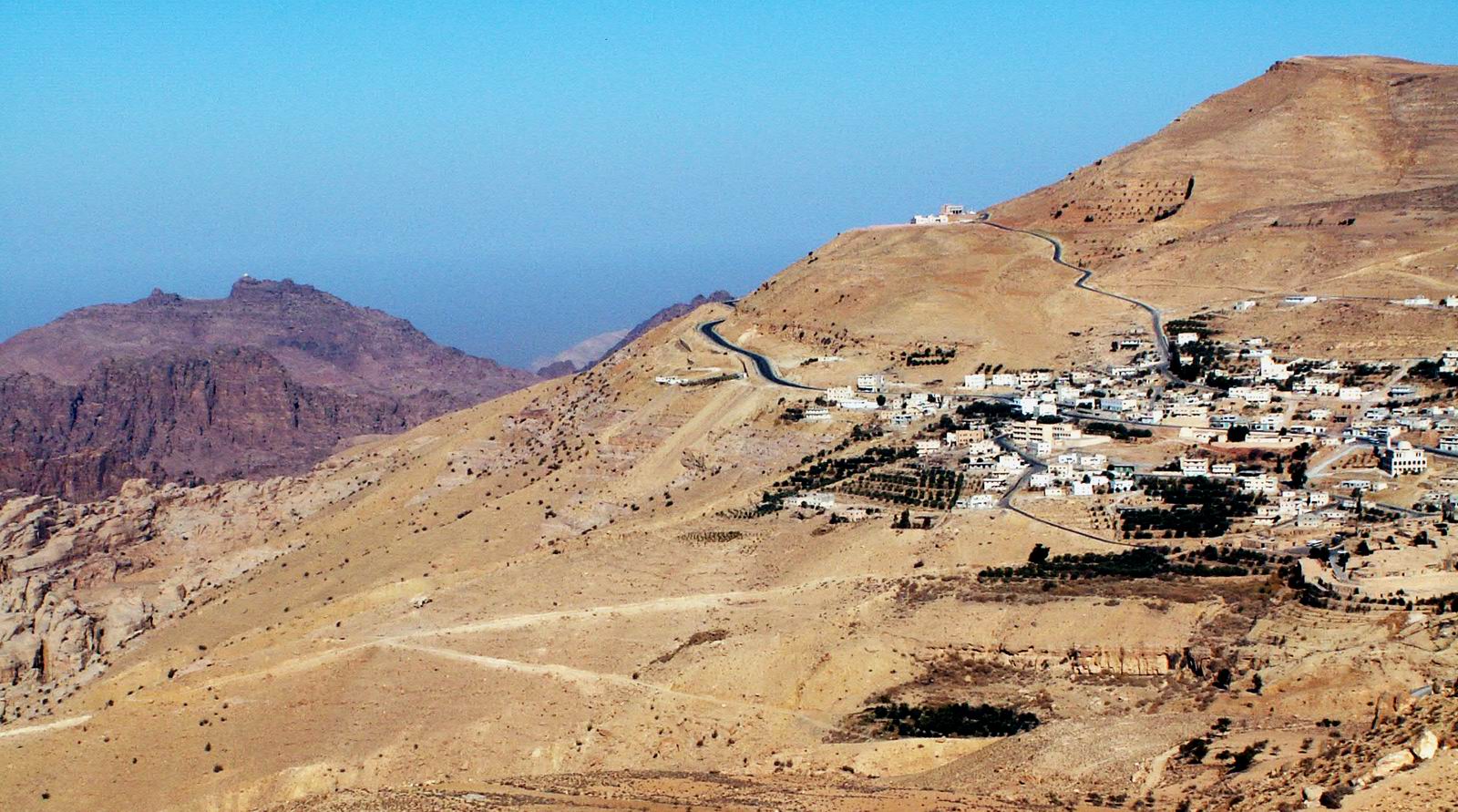
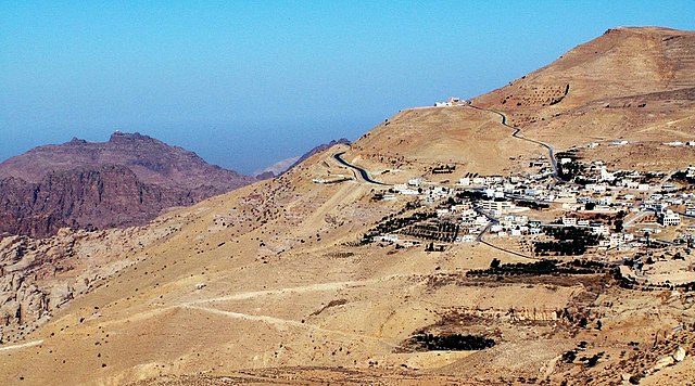
Jebel Harun (mt. of Aaron) at the left as seen from the Village of Taybe, south of Petra. the top of Jebel Harun has two peaks. on the right peak is the "Welly", The mosque on the grave of Aaron. in the photo it can be seen as a white dot on the top. Jebel Harun is part of Petra archeological site. Jebel Harun is located in the Horeb mountains, The red rocks area of Petra. high above the Horeb mountains is Mt. Seir or jebel A-Shara, where the village of Taybe is located and many other small villages. Photo by Uri Juda |
| Date | 14 January 2006 (original upload date) |
| Source | No machine-readable source provided. Own work assumed (based on copyright claims). |
| Author | No machine-readable author provided. Uri~commonswiki assumed (based on copyright claims). |
Licensing[edit]

|
Permission is granted to copy, distribute and/or modify this document under the terms of the GNU Free Documentation License, Version 1.2 or any later version published by the Free Software Foundation; with no Invariant Sections, no Front-Cover Texts, and no Back-Cover Texts. A copy of the license is included in the section entitled GNU Free Documentation License. |
| This file is licensed under the Creative Commons Attribution-Share Alike 3.0 Unported license. | ||
| ||
| This licensing tag was added to this file as part of the GFDL licensing update. |
- You are free:
- to share – to copy, distribute and transmit the work
- to remix – to adapt the work
- Under the following conditions:
- attribution – You must give appropriate credit, provide a link to the license, and indicate if changes were made. You may do so in any reasonable manner, but not in any way that suggests the licensor endorses you or your use.
- share alike – If you remix, transform, or build upon the material, you must distribute your contributions under the same or compatible license as the original.
File history
Click on a date/time to view the file as it appeared at that time.
| Date/Time | Thumbnail | Dimensions | User | Comment | |
|---|---|---|---|---|---|
| current | 23:18, 14 January 2006 | | 1,600 × 891 (301 KB) | Uri~commonswiki (talk | contribs) | Jebel Harun (mt. of Aaron) at the left as seen from the Vilage of Taybe, south of Petra. Mt. Harun is located in the Horeb mountains, The red rocks area of Petra. high above the Horeb mountains is Mt. Seir or jebel A-Shara where we can see the village of |
You cannot overwrite this file.
File usage on Commons
The following page uses this file:
File usage on other wikis
The following other wikis use this file:
- Usage on ar.wikipedia.org
- Usage on arz.wikipedia.org
- Usage on bn.wikipedia.org
- Usage on cy.wikipedia.org
- Usage on en.wikipedia.org
- Usage on es.wikipedia.org
- Usage on fi.wikipedia.org
- Usage on fr.wikipedia.org
- Usage on he.wikipedia.org
- Usage on hy.wikipedia.org
- Usage on id.wikipedia.org
- Usage on lld.wikipedia.org
- Usage on lt.wikipedia.org
- Usage on nn.wikipedia.org
- Usage on ro.wikipedia.org
- Usage on ru.wikipedia.org
- Usage on sco.wikipedia.org
- Usage on sl.wikipedia.org
- Usage on ta.wikipedia.org
- Usage on uk.wikipedia.org
- Usage on www.wikidata.org
- Usage on zh.wikipedia.org