File:Mount Hope Bay USGS Map.jpg
Jump to navigation
Jump to search
Size of this preview: 657 × 599 pixels. Other resolutions: 263 × 240 pixels | 526 × 480 pixels | 796 × 726 pixels.
Original file (796 × 726 pixels, file size: 283 KB, MIME type: image/jpeg)
Captions
Captions
Add a one-line explanation of what this file represents
Summary[edit]
| Description |
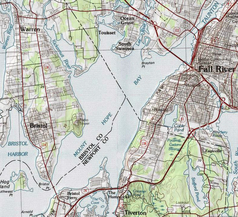
English: Map of Mount Hope Bay and surrounding areas. |
| Date | |
| Source | USGS Providence Quadrangle Map 1:100,000 scale |
| Author | United States Geological Survey |
Licensing[edit]
This image is in the public domain in the United States because it only contains materials that originally came from the United States Geological Survey, an agency of the United States Department of the Interior. For more information, see the official USGS copyright policy.
|
File history
Click on a date/time to view the file as it appeared at that time.
| Date/Time | Thumbnail | Dimensions | User | Comment | |
|---|---|---|---|---|---|
| current | 13:58, 27 November 2010 | | 796 × 726 (283 KB) | Marcbela (talk | contribs) | {{Information |Description={{en|1=Map of Mount Hope Bay and surrounding areas.}} |Source=USGS Providence Quadrangle Map 1:100,000 scale |Author=United States Geological Survey |Date=1984 |Permission= |other_versions= }} Category:Rhode Island [[Catego |
You cannot overwrite this file.
File usage on Commons
There are no pages that use this file.
File usage on other wikis
The following other wikis use this file:
- Usage on en.wikipedia.org
- Usage on fr.wikipedia.org
- Usage on ja.wikipedia.org
- Usage on nl.wikipedia.org