File:Motu Matakohe Island close to Whangarei New Zealand.jpg
Jump to navigation
Jump to search

Size of this preview: 784 × 599 pixels. Other resolutions: 314 × 240 pixels | 628 × 480 pixels | 905 × 692 pixels.
Original file (905 × 692 pixels, file size: 641 KB, MIME type: image/jpeg)
Captions
Captions
Add a one-line explanation of what this file represents
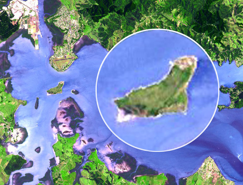
| Description | Satellite image of Whangarei, New Zealand, and surrounding areas. Granule ID: SC:AST_L1A.003:2032467158 |
| Date | (UTC) |
| Source | |
| Author |
|
| Other versions |
   |
| This is a retouched picture, which means that it has been digitally altered from its original version. Modifications: cropped image. The original can be viewed here: Whangarei and surrounds.jpg:
|
| This file is in the public domain in the United States because it was solely created by NASA. NASA copyright policy states that "NASA material is not protected by copyright unless noted". (See Template:PD-USGov, NASA copyright policy page or JPL Image Use Policy.) | ||
 |
Warnings:
|
Original upload log[edit]
This image is a derivative work of the following images:
- File:Whangarei_and_surrounds.jpg licensed with PD-USGov-NASA
- 2007-12-31T15:05:08Z Avenue 5621x5013 (6109649 Bytes) {{Information| |Description=Satellite image of [[w:Whangarei|Whangarei]], New Zealand, and surrounding areas. |Source=[http://ava.jpl.nasa.gov/public/2006/01/01/20060101222754.jpg] |Author=ASTER Volcano Archive |Date=[[2006-0
File history
Click on a date/time to view the file as it appeared at that time.
| Date/Time | Thumbnail | Dimensions | User | Comment | |
|---|---|---|---|---|---|
| current | 04:24, 2 March 2010 | | 905 × 692 (641 KB) | Esemono (talk | contribs) | {{Information |Description=Satellite image of Whangarei, New Zealand, and surrounding areas. Granule ID: SC:AST_L1A.003:2032467158 |Source=*Whangarei_and_surrounds.jpg |Date=2010-02-17 03:05 (UTC) |Au |
You cannot overwrite this file.
File usage on Commons
The following 4 pages use this file:
File usage on other wikis
The following other wikis use this file:
- Usage on ceb.wikipedia.org
- Usage on en.wikipedia.org
- Usage on www.wikidata.org