File:MotoaraKawaMiyamaeHashi2005-6.jpg
Jump to navigation
Jump to search

Size of this preview: 800 × 600 pixels. Other resolutions: 320 × 240 pixels | 640 × 480 pixels | 1,024 × 768 pixels | 1,280 × 960 pixels | 2,304 × 1,728 pixels.
Original file (2,304 × 1,728 pixels, file size: 1.69 MB, MIME type: image/jpeg)
Captions
Captions
Add a one-line explanation of what this file represents
| Description |
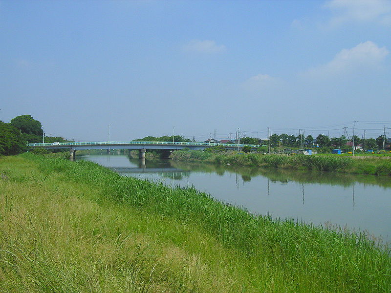
English: The Miyamae Bridge over the Motoara River in Kawashima, Hasuda, Saitama Prefecture, Japan. From the right bank of the Motoara River toward north.
Español: El Río Motoara y el Puente Miyamae. Lugar - Kawashima, Hasuda, Prefectura de Saitama, Japón. Desde el banco derecho del Río Motoara, hacia norte. |
||
| Date | Taken on 5 June 2005 | ||
| Source | Self-photographed | ||
| Author |
This photo was taken with Ricoh Caplio R1 |
||
| Permission (Reusing this file) |
|
| Camera location | | View this and other nearby images on: OpenStreetMap |
|---|
The geographical information in this file was retrospectively estimated.
The location may therefore be somewhat imprecise. Verifying and refining these coordinates is strongly encouraged. |
File history
Click on a date/time to view the file as it appeared at that time.
| Date/Time | Thumbnail | Dimensions | User | Comment | |
|---|---|---|---|---|---|
| current | 17:03, 13 June 2005 | | 2,304 × 1,728 (1.69 MB) | Kinori (talk | contribs) | Motoara River and the Miyamae Bridge. Hasuda, Saitama prefecture, Japan. {{PD-user|Kinori}} |
You cannot overwrite this file.
File usage on Commons
The following page uses this file:
File usage on other wikis
The following other wikis use this file:
- Usage on arz.wikipedia.org
- Usage on fi.wikipedia.org
- Usage on ja.wikipedia.org
- Usage on www.wikidata.org
- Usage on zh.wikipedia.org