File:Africa without borders.png
(Redirected from File:Morocco location map.png)

Size of this preview: 519 × 599 pixels. Other resolutions: 208 × 240 pixels | 416 × 480 pixels | 720 × 831 pixels.
Original file (720 × 831 pixels, file size: 719 KB, MIME type: image/png)
Captions
Captions
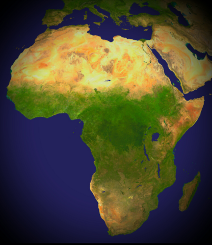
NATURE KNOWS NO BORDERS = AFRICA WITHOUT BORDERS
Summary
[edit]
| Description |
English: (Nature knows no borders =Africa without borders). A composed satellite photograph of Africa in orthographic projection. This is NASA "Blue Marble" image applied as a texture on a sphere using Art of Illusion program. The observer is centered at (0° N, 15° E), at Moon distance above the Earth. |
| Date | Unknown date |
| Source | NASA |
| Author |
NASA.
|
Licensing
[edit]
I, the copyright holder of this work, hereby publish it under the following licenses:
This file is licensed under the Creative Commons Attribution-Share Alike 3.0 Unported license.
- You are free:
- to share – to copy, distribute and transmit the work
- to remix – to adapt the work
- Under the following conditions:
- attribution – You must give appropriate credit, provide a link to the license, and indicate if changes were made. You may do so in any reasonable manner, but not in any way that suggests the licensor endorses you or your use.
- share alike – If you remix, transform, or build upon the material, you must distribute your contributions under the same or compatible license as the original.

|
Permission is granted to copy, distribute and/or modify this document under the terms of the GNU Free Documentation License, Version 1.2 or any later version published by the Free Software Foundation; with no Invariant Sections, no Front-Cover Texts, and no Back-Cover Texts. A copy of the license is included in the section entitled GNU Free Documentation License. |
You may select the license of your choice.
File history
Click on a date/time to view the file as it appeared at that time.
| Date/Time | Thumbnail | Dimensions | User | Comment | |
|---|---|---|---|---|---|
| current | 21:19, 26 January 2020 | | 720 × 831 (719 KB) | محمد بوعلام عصامي (talk | contribs) | Reverted to version as of 01:29, 31 October 2019 (UTC), it's my own upload |
| 08:20, 9 January 2020 |  | 1,340 × 1,424 (384 KB) | SADIQUI (talk | contribs) | Reverted to version as of 16:23, 14 March 2018 (UTC) | |
| 01:29, 31 October 2019 |  | 720 × 831 (719 KB) | محمد بوعلام عصامي (talk | contribs) | Africa without borders | |
| 16:23, 14 March 2018 |  | 1,340 × 1,424 (384 KB) | محمد بوعلام عصامي (talk | contribs) | map of morocco, as Moroccan view on the peace process in north Africa. | |
| 20:59, 24 August 2017 |  | 1,223 × 995 (646 KB) | Sting (talk | contribs) | Following a request by user: ElWaliElAlaoui | |
| 20:09, 14 March 2015 |  | 1,340 × 1,424 (384 KB) | محمد بوعلام عصامي (talk | contribs) | User created page with UploadWizard |
You cannot overwrite this file.
File usage on Commons
The following 2 pages use this file:
- File:Morocco location map.png (file redirect)
- File:Morocco location map.svg.png (file redirect)
File usage on other wikis
The following other wikis use this file: