File:Missouri Bootheel topo map v1.png
Jump to navigation
Jump to search

Size of this preview: 800 × 533 pixels. Other resolutions: 320 × 213 pixels | 640 × 426 pixels | 1,061 × 707 pixels.
Original file (1,061 × 707 pixels, file size: 477 KB, MIME type: image/png)
Captions
Captions
Add a one-line explanation of what this file represents
Summary[edit]
| Description |
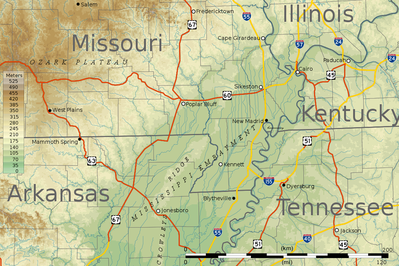
English: Topographic map of the Bootheel region of Missouri and the surrounding areas of Missouri and neighboring states. Created from public domain data from the National Atlas of the U.S., and incorporating public domain highway shields from Wikimedia Commons. Projection UTM zone 15N (EPSG:26915) |
| Source | Own work |
| Author | Kbh3rd |
Licensing[edit]
I, the copyright holder of this work, hereby publish it under the following licenses:
This file is licensed under the Creative Commons Attribution-Share Alike 3.0 Unported license.
- You are free:
- to share – to copy, distribute and transmit the work
- to remix – to adapt the work
- Under the following conditions:
- attribution – You must give appropriate credit, provide a link to the license, and indicate if changes were made. You may do so in any reasonable manner, but not in any way that suggests the licensor endorses you or your use.
- share alike – If you remix, transform, or build upon the material, you must distribute your contributions under the same or compatible license as the original.

|
Permission is granted to copy, distribute and/or modify this document under the terms of the GNU Free Documentation License, Version 1.2 or any later version published by the Free Software Foundation; with no Invariant Sections, no Front-Cover Texts, and no Back-Cover Texts. A copy of the license is included in the section entitled GNU Free Documentation License. |
You may select the license of your choice.
| Annotations | This image is annotated: View the annotations at Commons |
File history
Click on a date/time to view the file as it appeared at that time.
| Date/Time | Thumbnail | Dimensions | User | Comment | |
|---|---|---|---|---|---|
| current | 05:57, 6 May 2010 | | 1,061 × 707 (477 KB) | Kbh3rd (talk | contribs) | Sikeston! |
| 05:41, 6 May 2010 |  | 1,061 × 707 (519 KB) | Kbh3rd (talk | contribs) | {{Information |Description={{en|1=Topographic map of the Bootheel region of Missouri and the surrounding areas of Missouri and neighboring states. Created from public domain data from the [[:en:Nationa |
You cannot overwrite this file.
File usage on Commons
There are no pages that use this file.
File usage on other wikis
The following other wikis use this file:
- Usage on en.wikipedia.org
- Usage on fr.wikipedia.org
- Usage on hy.wikipedia.org
- Usage on it.wikipedia.org