File:Metro atlanta.jpg
Jump to navigation
Jump to search

Size of this preview: 570 × 599 pixels. Other resolutions: 228 × 240 pixels | 456 × 480 pixels | 730 × 768 pixels | 1,025 × 1,078 pixels.
Original file (1,025 × 1,078 pixels, file size: 385 KB, MIME type: image/jpeg)
Captions
Captions
Add a one-line explanation of what this file represents

|
This map image could be re-created using vector graphics as an SVG file. This has several advantages; see Commons:Media for cleanup for more information. If an SVG form of this image is available, please upload it and afterwards replace this template with
{{vector version available|new image name}}.
It is recommended to name the SVG file “Metro atlanta.svg”—then the template Vector version available (or Vva) does not need the new image name parameter. |


Summary[edit]
| Description |
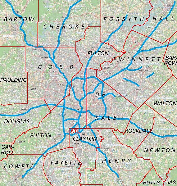
English: Metro Atlanta from Open Street Map |
| Date | |
| Source | Open street map |
| Author | Open street map |
Licensing[edit]
This file is licensed under the Creative Commons Attribution 2.5 Generic license.
- You are free:
- to share – to copy, distribute and transmit the work
- to remix – to adapt the work
- Under the following conditions:
- attribution – You must give appropriate credit, provide a link to the license, and indicate if changes were made. You may do so in any reasonable manner, but not in any way that suggests the licensor endorses you or your use.
File history
Click on a date/time to view the file as it appeared at that time.
| Date/Time | Thumbnail | Dimensions | User | Comment | |
|---|---|---|---|---|---|
| current | 00:44, 18 April 2011 | | 1,025 × 1,078 (385 KB) | Keizers (talk | contribs) | +county borders and airport |
| 17:22, 15 April 2011 |  | 1,025 × 1,078 (571 KB) | Keizers (talk | contribs) | shows all counties now | |
| 17:38, 14 April 2011 |  | 1,025 × 1,078 (548 KB) | Keizers (talk | contribs) | added thicker freeway lines and 3 key county names | |
| 15:16, 14 April 2011 |  | 1,025 × 1,078 (362 KB) | Keizers (talk | contribs) | {{Information |Description ={{en|1=Metro Atlanta from Open Street Map}} |Source =Open street map |Author =Open street map |Date =2011-04-12 |Permission = |other_versions = }} Category:Atlanta maps |
You cannot overwrite this file.
File usage on Commons
The following page uses this file:
File usage on other wikis
The following other wikis use this file:
- Usage on ar.wikipedia.org
- Usage on ban.wikipedia.org
- Usage on bcl.wikipedia.org
- Usage on bn.wikipedia.org
- Usage on ceb.wikipedia.org
- Usage on de.wikipedia.org
- Usage on en.wikipedia.org
- Cobb County, Georgia
- Canton, Georgia
- Holly Springs, Georgia
- Woodstock, Georgia
- College Park, Georgia
- Forest Park, Georgia
- Jonesboro, Georgia
- Austell, Georgia
- Kennesaw, Georgia
- Mableton, Georgia
- Marietta, Georgia
- Vinings, Georgia
- Newnan, Georgia
- Avondale Estates, Georgia
- Belvedere Park, Georgia
- Candler-McAfee, Georgia
- Chamblee, Georgia
- Decatur, Georgia
- Doraville, Georgia
- Lithonia, Georgia
- Panthersville, Georgia
- Scottdale, Georgia
- Stone Mountain, Georgia
- Douglasville, Georgia
- Cumming, Georgia
- Alpharetta, Georgia
- East Point, Georgia
- Fairburn, Georgia
- Roswell, Georgia
- Sandy Springs, Georgia
- Buford, Georgia
- Lawrenceville, Georgia
- Loganville, Georgia
- Norcross, Georgia
- Rest Haven, Georgia
- Snellville, Georgia
- Suwanee, Georgia
- Stockbridge, Georgia
- Covington, Georgia
- Dallas, Georgia
- Hiram, Georgia
View more global usage of this file.