File:Metro Lyon MA-plan.svg
Jump to navigation
Jump to search

Size of this PNG preview of this SVG file: 799 × 311 pixels. Other resolutions: 320 × 125 pixels | 640 × 249 pixels | 1,024 × 399 pixels | 1,280 × 498 pixels | 2,560 × 997 pixels | 1,156 × 450 pixels.
Original file (SVG file, nominally 1,156 × 450 pixels, file size: 286 KB)
Captions
Captions
Add a one-line explanation of what this file represents
Summary[edit]
| Description |
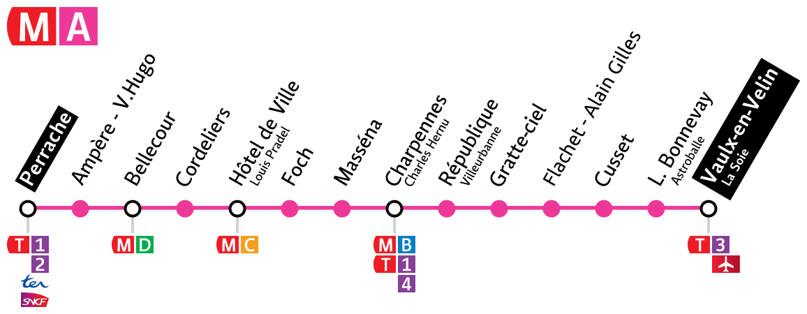
Français : Plan schématique de la ligne A du métro de Lyon |
||
| Date | |||
| Source | Own work | ||
| Author | Antwan | ||
| Permission (Reusing this file) |
|
Licensing[edit]
I, the copyright holder of this work, hereby publish it under the following license:
This file is licensed under the Creative Commons Attribution 3.0 Unported license.
- You are free:
- to share – to copy, distribute and transmit the work
- to remix – to adapt the work
- Under the following conditions:
- attribution – You must give appropriate credit, provide a link to the license, and indicate if changes were made. You may do so in any reasonable manner, but not in any way that suggests the licensor endorses you or your use.
File history
Click on a date/time to view the file as it appeared at that time.
| Date/Time | Thumbnail | Dimensions | User | Comment | |
|---|---|---|---|---|---|
| current | 14:18, 21 February 2018 | 1,156 × 450 (286 KB) | Chabe01 (talk | contribs) | Cercles de même taille et alignement | |
| 13:16, 2 January 2016 |  | 1,150 × 665 (279 KB) | Otourly (talk | contribs) | changement du nom de la station Flachet → Flachet - Alain Gilles | |
| 14:33, 24 July 2013 |  | 1,150 × 665 (264 KB) | Antwan (talk | contribs) | Ajout connexion T4 aux Charpennes. | |
| 15:33, 22 August 2011 |  | 1,150 × 665 (262 KB) | Antwan (talk | contribs) | {{Information |Description ={{fr|1=Plan schématique de la ligne A du métro de Lyon}} |Source ={{own}} |Author =Antwan |Date =2011-08-22 |Permission ={{PD-self}} |other_versions = }} |
You cannot overwrite this file.
File usage on Commons
The following 8 pages use this file:
- User:Chumwa/OgreBot/Potential transport maps/2018 February 19-28
- User:Chumwa/OgreBot/Public transport information/2016 January 1-10
- User:Chumwa/OgreBot/Public transport information/2018 February 19-28
- User:Chumwa/OgreBot/Transport Maps/2016 January 1-10
- User:Chumwa/OgreBot/Transport Maps/2018 February 19-28
- User:Chumwa/OgreBot/Travel and communication maps/2018 February 19-28
- User:Hoff1980/Rail transport in France/2016 January 1-10
- Category:Lyon Metro Ligne A
File usage on other wikis
The following other wikis use this file:
- Usage on cs.wikipedia.org
- Usage on en.wikipedia.org
- Usage on eo.wikipedia.org
- Usage on fr.wikipedia.org
- Usage on it.wikipedia.org
- Usage on pt.wikipedia.org
- Usage on ru.wikipedia.org
- Usage on www.wikidata.org