File:Merrill Lock No. 6 western end.jpg
Jump to navigation
Jump to search
Size of this preview: 800 × 600 pixels. Other resolutions: 320 × 240 pixels | 640 × 480 pixels | 1,024 × 768 pixels | 1,280 × 960 pixels | 2,560 × 1,920 pixels | 2,816 × 2,112 pixels.
Original file (2,816 × 2,112 pixels, file size: 1.29 MB, MIME type: image/jpeg)
Captions
Captions
Add a one-line explanation of what this file represents
| Camera location | | View this and other nearby images on: OpenStreetMap |
|---|
| Description |
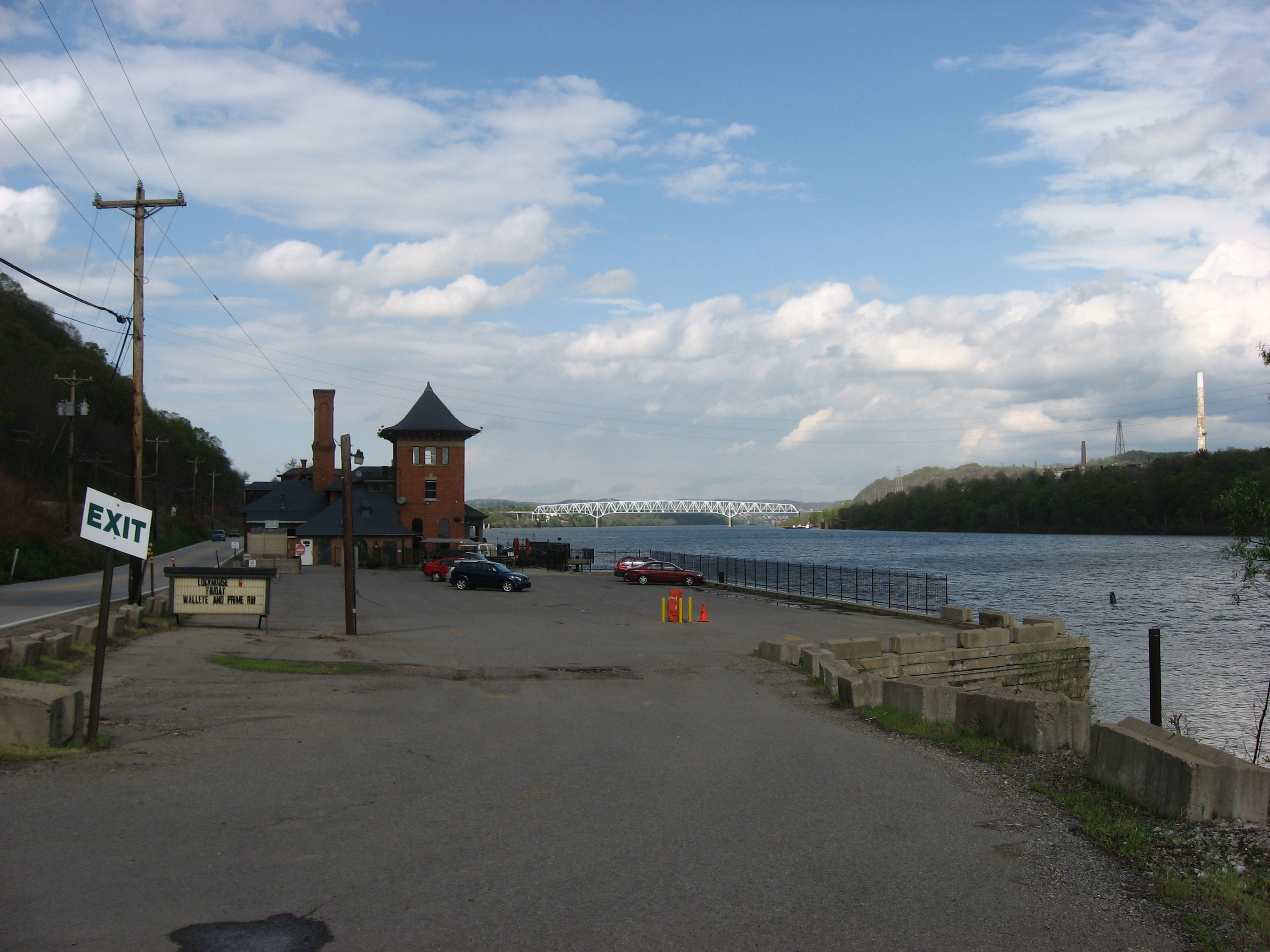
English: Profile of the western end of the Merrill Lock No. 6, located along Pennsylvania Route 68 and the Ohio River at Industry in Beaver County, Pennsylvania, United States. Visible in the distance is the Vanport Bridge, which carries Pennsylvania Route 60 over the river. The lock and its associated dam and buildings were completed in 1906 and superseded in 1936. The Romanesque powerhouse (the larger of the two buildings at the site) currently serves as the location of a restaurant; the house's use is uncertain. Together, they are listed on the National Register of Historic Places. |
||
| Date | Taken on 1 May 2009 | ||
| Source | Own work | ||
| Author | Nyttend | ||
| Permission (Reusing this file) |
|
File history
Click on a date/time to view the file as it appeared at that time.
| Date/Time | Thumbnail | Dimensions | User | Comment | |
|---|---|---|---|---|---|
| current | 17:06, 5 May 2009 | | 2,816 × 2,112 (1.29 MB) | Nyttend (talk | contribs) | {{Location|40|40|7|N|80|21|6|W}} {{Information |Description={{en|Profile of the western end of the {{w|Merrill Lock No. 6}}, located along {{w|Pennsylvania Route 68}} and the {{w|Ohio River}} at {{w|Industry, Pennsylvania|Industry}} in {{w|Beaver County, |
You cannot overwrite this file.
File usage on Commons
There are no pages that use this file.