File:Mediterranean icon.svg
Jump to navigation
Jump to search
Size of this PNG preview of this SVG file: 800 × 307 pixels. Other resolutions: 320 × 123 pixels | 640 × 245 pixels | 1,024 × 392 pixels | 1,280 × 490 pixels | 2,560 × 981 pixels | 937 × 359 pixels.
Original file (SVG file, nominally 937 × 359 pixels, file size: 23 KB)
Captions
Captions
Add a one-line explanation of what this file represents
Summary[edit]
| Description |
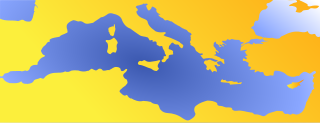
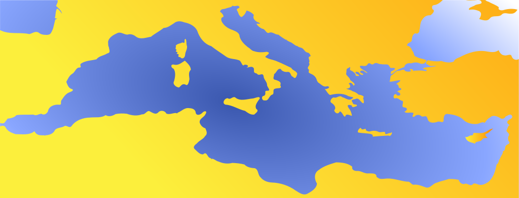
English: Blank map of Mediterranean sea to use as an icon; null projection (en:Equirectangular projection/bilinear projection). Français : Une carte vierge de la mer Méditerranée destinée à être utilisée comme icône ; projection nulle (projection bilinéaire). |
| Date | |
| Source | |
| Author |
|
| Other versions |
Derivative works of this file: |
Licensing[edit]
| I, the copyright holder of this work, release this work into the public domain. This applies worldwide. In some countries this may not be legally possible; if so: I grant anyone the right to use this work for any purpose, without any conditions, unless such conditions are required by law. |
(talk)
|Permission= |other_versions= }}
| This is a retouched picture, which means that it has been digitally altered from its original version. Modifications: No more separation between countries, colors.. The original can be viewed here: Mediterranean.svg:
|
I, the copyright holder of this work, hereby publish it under the following license:
| I, the copyright holder of this work, release this work into the public domain. This applies worldwide. In some countries this may not be legally possible; if so: I grant anyone the right to use this work for any purpose, without any conditions, unless such conditions are required by law. |
Original upload log[edit]
This image is a derivative work of the following images:
- File:Mediterranean.svg licensed with PD-self
- 2008-04-07T18:15:45Z STyx 154x78 (158249 Bytes) {{Information |Description={{en}}Blanck map of Mediterranean sea for geolocation ; null projection ([[:en:Equirectangular projection]]/bilinear projection). {{fr}}Une carte vierge de la mer Méditerranée pour la géolocalisa
Uploaded with derivativeFX
[[Category:Medit
- derivative work: Flappiefh
File history
Click on a date/time to view the file as it appeared at that time.
| Date/Time | Thumbnail | Dimensions | User | Comment | |
|---|---|---|---|---|---|
| current | 20:44, 9 October 2023 | 937 × 359 (23 KB) | Iktsokh (talk | contribs) | Added Cyprus | |
| 06:44, 26 July 2011 | 937 × 359 (19 KB) | Flappiefh (talk | contribs) | {{Information |Description={{en}}Blank map of Mediterranean sea to use as an icon; null projection (en:Equirectangular projection/bilinear projection). {{fr}}Une carte vierge de la mer Méditerranée destinée à être utilisée comme icône ; projec |
You cannot overwrite this file.
File usage on Commons
The following page uses this file:
File usage on other wikis
The following other wikis use this file:
- Usage on fr.wikipedia.org
- Alpes-Maritimes
- Aude (département)
- Alger
- Andalousie
- Corse
- Croatie
- Hérault (département)
- Italie
- Mykonos
- Pyrénées-Orientales
- Phéniciens
- Tínos
- Var (département)
- Barcelone
- Ceuta
- Mer Méditerranée
- Toulon
- Odyssée
- Phare d'Alexandrie
- Gênes
- Détroit de Gibraltar
- Colonnes d'Hercule
- Gibraltar
- Catalogne
- Valence (Espagne)
- Proche-Orient
- Carthagène (Espagne)
- Pastis
- Sicile
- Sardaigne
- Carnon
- Antibes
- Liste de fromages grecs
- Villeneuve-Loubet
- Cannes
- Délos
- Narbonne
- Rhodes
- Canal de Suez
- Toscane
- Guerres puniques
- Province de Tarragone
- Îles Baléares
- Région de Murcie
- Bataille d'Actium
- Projet:Italie
- Monastir
- Occitanie (région culturelle)
- Oran
- Malte (île)
View more global usage of this file.