File:MayoFoundationHouseWinter.JPG
Jump to navigation
Jump to search

Size of this preview: 800 × 579 pixels. Other resolutions: 320 × 231 pixels | 640 × 463 pixels | 1,024 × 741 pixels | 1,280 × 926 pixels | 2,560 × 1,851 pixels | 2,861 × 2,069 pixels.
Original file (2,861 × 2,069 pixels, file size: 3.81 MB, MIME type: image/jpeg)
Captions
Captions
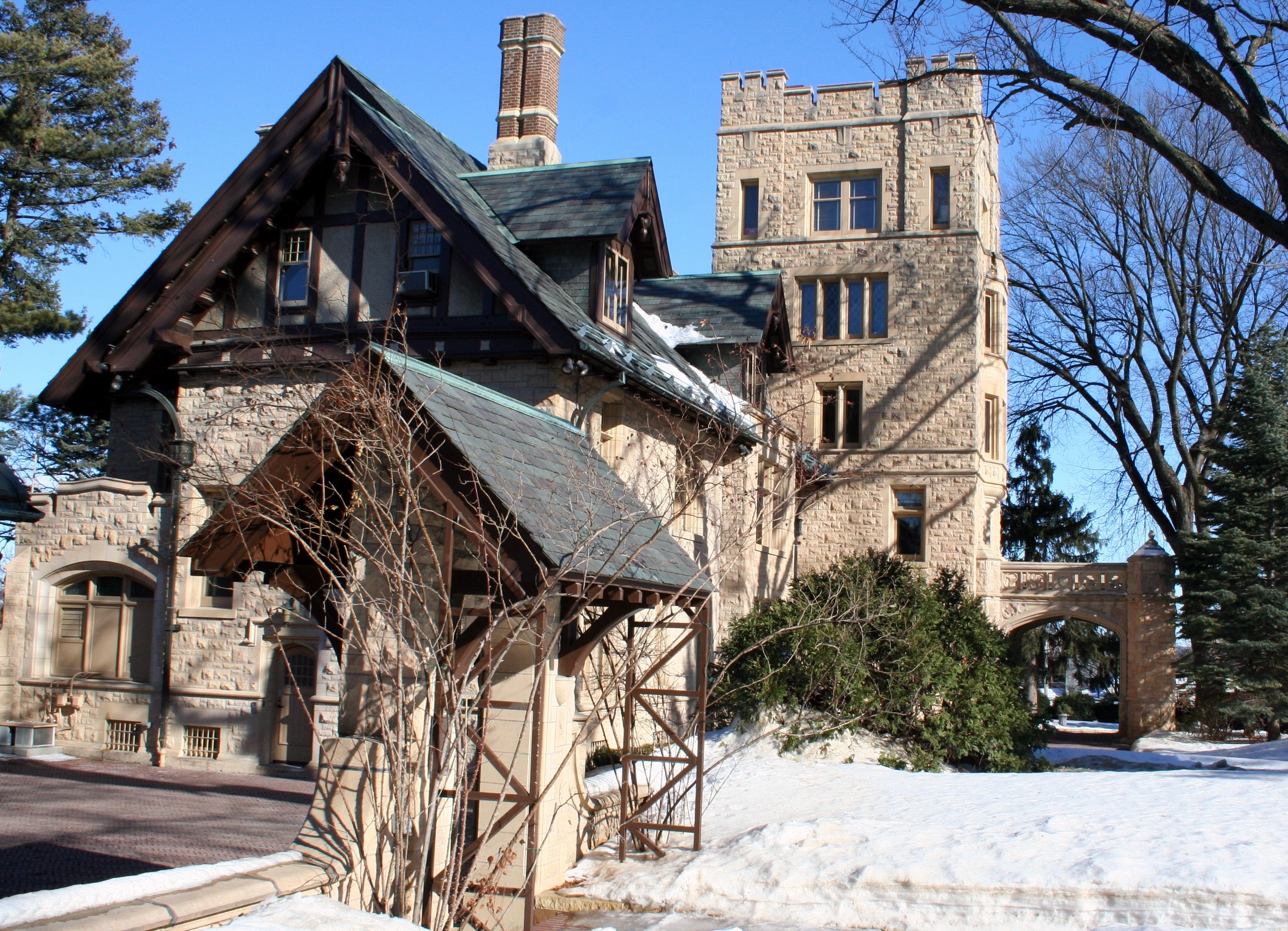
Mayo Foundation House in Rochester, Minnesota, United States
Summary[edit]
| Description |
English: Mayo Foundation House in Rochester, Minnesota, United States |
||
| Depicts | Dr. William J. Mayo House – historic house in Minnesota, United States | ||
| Heritage designation |
|
||
| Depicted place | Rochester (Olmsted County, Minnesota, United States of America) | ||
| Date | Taken on 1 February 2009 | ||
| Source | Own work | ||
| Author |
Jonathunder |
||
| Permission (Reusing this file) |
|
||
| Aspect ratio (W:H) (photograph) | 11:8 |
| Object location | | View this and other nearby images on: OpenStreetMap |
|---|
Licensing[edit]
- Object
-
 United States copyright law does not protect architectural works before 1 December 1990. In 1990, the Architectural Works Copyright Protection Act amended subsection 102(a) of the US copyright law by adding paragraph (8), "architectural works." A building that was substantially constructed or for which the plans were otherwise published before 1 December 1990, is in the public domain in the United States.
For images of architectural works in the United States completed on or after 1 December 1990, please use {{FoP-US}} on the description pages of the images.

- Photograph
I, the copyright holder of this work, hereby publish it under the following licenses:
This file is licensed under the Creative Commons Attribution-Share Alike 3.0 Unported license.
- You are free:
- to share – to copy, distribute and transmit the work
- to remix – to adapt the work
- Under the following conditions:
- attribution – You must give appropriate credit, provide a link to the license, and indicate if changes were made. You may do so in any reasonable manner, but not in any way that suggests the licensor endorses you or your use.
- share alike – If you remix, transform, or build upon the material, you must distribute your contributions under the same or compatible license as the original.

|
Permission is granted to copy, distribute and/or modify this document under the terms of the GNU Free Documentation License, Version 1.2 or any later version published by the Free Software Foundation; with no Invariant Sections, no Front-Cover Texts, and no Back-Cover Texts. A copy of the license is included in the section entitled GNU Free Documentation License. |
You may select the license of your choice.
File history
Click on a date/time to view the file as it appeared at that time.
| Date/Time | Thumbnail | Dimensions | User | Comment | |
|---|---|---|---|---|---|
| current | 12:14, 2 February 2009 | | 2,861 × 2,069 (3.81 MB) | Jonathunder (talk | contribs) | {{Information |Description={{en|1=Mayo Foundation House in Rochester, Minnesota.}} |Source=Own work by uploader |Author=Jonathunder |Date=2009-02-01 |Permission= |other_versions= }} <!--{{ImageUpload|full}}--> [[Category:Houses in Mi |
You cannot overwrite this file.
File usage on Commons
There are no pages that use this file.
File usage on other wikis
The following other wikis use this file:
- Usage on de.wikipedia.org
- Usage on en.wikipedia.org