File:Mapofisrarel1.PNG
Jump to navigation
Jump to search
Size of this preview: 800 × 450 pixels. Other resolutions: 320 × 180 pixels | 813 × 457 pixels.
Original file (813 × 457 pixels, file size: 77 KB, MIME type: image/png)
Captions
Captions
Add a one-line explanation of what this file represents
Summary[edit]
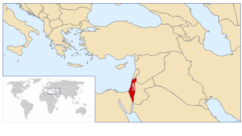
| Description | Location of Israel in the world |
| Source | based on the Image:LocationIsrael.svg that created by http://commons.wikimedia.org/wiki/User:Vardion |
| Author | I created this |
Licensing[edit]
| I, the copyright holder of this work, release this work into the public domain. This applies worldwide. In some countries this may not be legally possible; if so: I grant anyone the right to use this work for any purpose, without any conditions, unless such conditions are required by law. |
File history
Click on a date/time to view the file as it appeared at that time.
| Date/Time | Thumbnail | Dimensions | User | Comment | |
|---|---|---|---|---|---|
| current | 14:25, 4 April 2008 | | 813 × 457 (77 KB) | Nadivo (talk | contribs) | {{Information |Description=Location of Israel in the world |Source=based on the Image:LocationIsrael.svg that created by http://commons.wikimedia.org/wiki/User:Vardion |Date= |Author= I created this |Permission= |other_versions= }} |
You cannot overwrite this file.
File usage on Commons
There are no pages that use this file.
File usage on other wikis
The following other wikis use this file:
- Usage on he.wikipedia.org