File:Mapa Sender GR 3.png
Jump to navigation
Jump to search
No higher resolution available.
Mapa_Sender_GR_3.png (792 × 600 pixels, file size: 100 KB, MIME type: image/png)
Captions
Captions
Add a one-line explanation of what this file represents
| Description |
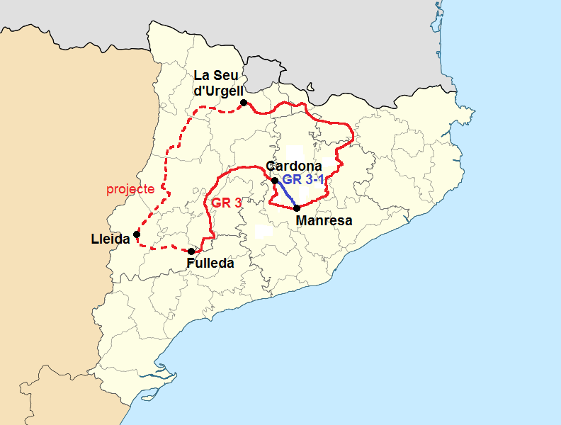
Català: Mapa de localització de Catalunya Projecció equirrectangular, N/S estirada 130%. Límits geogràfics del mapa: * N: 42.99° N * S: 40.405° N * W: 0.55° O * E: 4.02° O English: Location map of Catalonia Equirectangular projection, N/S stretching 130 %. Geographic limits of the map: * N: 42.99° N * S: 40.405° N * W: 0.55° O * E: 4.02° O Español: Mapa de localización de Cataluña Proyección equirrectangular, N/S estirada 130 %. Límites geográficos del mapa: * N: 42.99° N * S: 40.405° N * W: 0.55° O * E: 4.02° O |
| Date | (UTC) |
| Source | |
| Author |
|
| This is a retouched picture, which means that it has been digitally altered from its original version. Modifications: added GR 3 and GR 3-1. The original can be viewed here: Catalonia location map.svg:
|
I, the copyright holder of this work, hereby publish it under the following license:
| I, the copyright holder of this work, release this work into the public domain. This applies worldwide. In some countries this may not be legally possible; if so: I grant anyone the right to use this work for any purpose, without any conditions, unless such conditions are required by law. |
Original upload log[edit]
This image is a derivative work of the following images:
- File:Catalonia_location_map.svg licensed with PD-self
- 2010-05-19T11:24:59Z Miguillen 3300x2500 (353030 Bytes) color borde frontera
- 2010-05-19T11:18:10Z Miguillen 3300x2500 (345327 Bytes) recuadro y bordes de costa
- 2010-05-17T15:53:00Z Xfigpower 3300x2500 (318599 Bytes) {{Information |Description={{ca|Mapa de localització de [[:ca:Catalunya|Catalunya]]}} Projecció equirrectangular, N/S estirada 130%. Límits geogràfics del mapa: * N: 42.99° N * S: 40.405° N * W: 0.55° O * E: 4.02�
Uploaded with derivativeFX
File history
Click on a date/time to view the file as it appeared at that time.
| Date/Time | Thumbnail | Dimensions | User | Comment | |
|---|---|---|---|---|---|
| current | 17:37, 3 November 2010 | | 792 × 600 (100 KB) | Artal Segon (talk | contribs) | {{Information |Description={{ca|Mapa de localització de Catalunya}} Projecció equirrectangular, N/S estirada 130%. Límits geogràfics del mapa: * N: 42.99° N * S: 40.405° N * W: 0.55° O * E: 4.02° O {{en|Location map of [[:e |
You cannot overwrite this file.
File usage on Commons
There are no pages that use this file.
File usage on other wikis
The following other wikis use this file:
- Usage on ca.wikipedia.org