File:Mapa Santa Lucía.PNG
Jump to navigation
Jump to search
Size of this preview: 746 × 600 pixels. Other resolutions: 299 × 240 pixels | 597 × 480 pixels | 914 × 735 pixels.
Original file (914 × 735 pixels, file size: 49 KB, MIME type: image/png)
Captions
Captions
Add a one-line explanation of what this file represents
| Description |
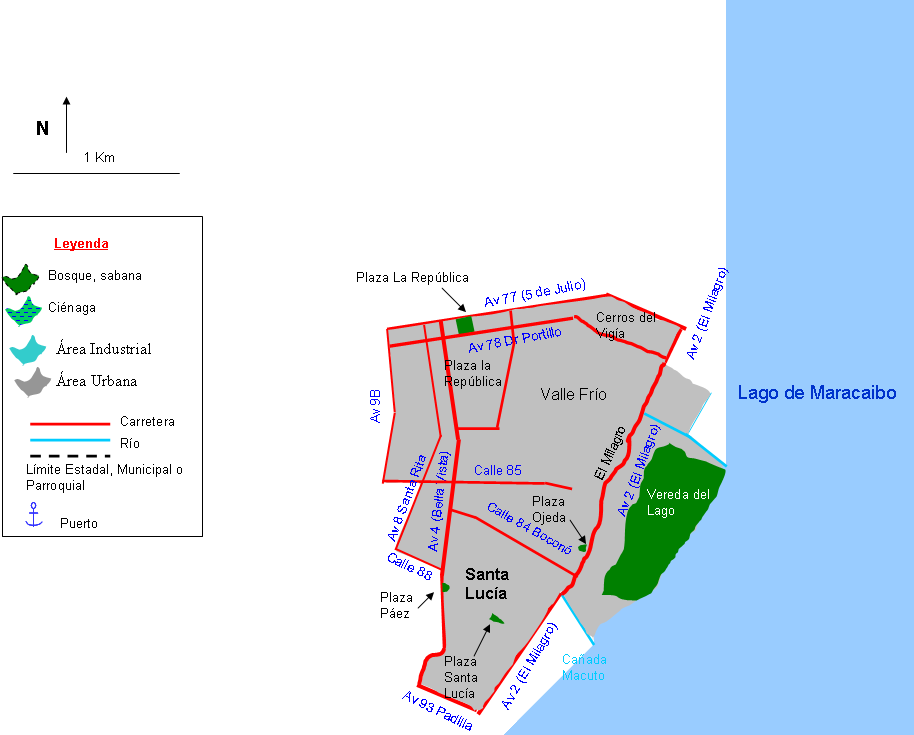
English: Mapa de la parroquia Santa Lucía, municipio Maracaibo, estado Zulia, Venezuela |
||
| Source | Own work | ||
| Author | Andrés González | ||
| Permission (Reusing this file) |
|
File history
Click on a date/time to view the file as it appeared at that time.
| Date/Time | Thumbnail | Dimensions | User | Comment | |
|---|---|---|---|---|---|
| current | 12:38, 2 February 2011 | | 914 × 735 (49 KB) | Andrés González (talk | contribs) | {{Information |Description ={{en|1=Mapa de la parroquia Santa Lucía, municipio Maracaibo, estado Zulia, Venezuela}} |Source ={{own}} |Author =Andrés González |Date = |Permission ={{PD-self}} | |
You cannot overwrite this file.
File usage on Commons
There are no pages that use this file.
File usage on other wikis
The following other wikis use this file:
- Usage on es.wikipedia.org