File:Mapa Republica Dominicana.svg
Jump to navigation
Jump to search

Size of this PNG preview of this SVG file: 790 × 550 pixels. Other resolutions: 320 × 223 pixels | 640 × 446 pixels | 1,024 × 713 pixels | 1,280 × 891 pixels | 2,560 × 1,782 pixels.
Original file (SVG file, nominally 790 × 550 pixels, file size: 36 KB)
Captions
Captions
Add a one-line explanation of what this file represents
Summary[edit]
| Description |
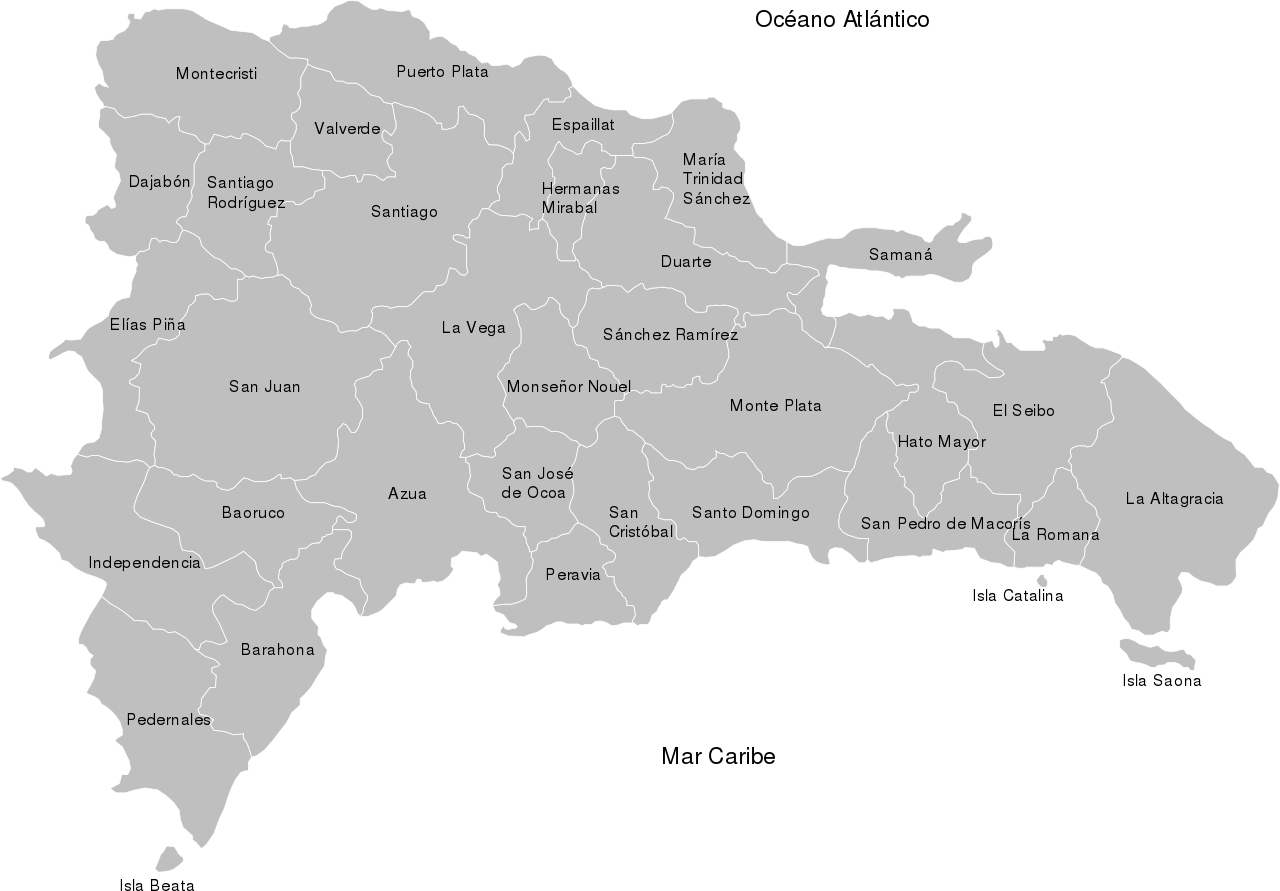
Español: Mapa de provincias de la República Dominicana |
| Date | |
| Source | Own work |
| Author | Vagabondleon |
| SVG development | This map was created with Adobe Illustrator. |
Licensing[edit]
I, the copyright holder of this work, hereby publish it under the following license:
This file is licensed under the Creative Commons Attribution 3.0 Unported license.
- You are free:
- to share – to copy, distribute and transmit the work
- to remix – to adapt the work
- Under the following conditions:
- attribution – You must give appropriate credit, provide a link to the license, and indicate if changes were made. You may do so in any reasonable manner, but not in any way that suggests the licensor endorses you or your use.
File history
Click on a date/time to view the file as it appeared at that time.
| Date/Time | Thumbnail | Dimensions | User | Comment | |
|---|---|---|---|---|---|
| current | 21:05, 14 May 2018 | | 790 × 550 (36 KB) | JoKalliauer (talk | contribs) | removed adobe_illustrator_pgf; trimmed |
| 03:44, 18 November 2010 |  | 1,024 × 768 (161 KB) | Vagabondleon (talk | contribs) | {{Information |Description={{es|1=Mapa de provincias de la República Dominicana}} |Source={{own}} |Author=Vagabondleon |Date=2010-11-17 |Permission= |other_versions= }} |
You cannot overwrite this file.
File usage on Commons
There are no pages that use this file.