File:Map of the Provinces of Argentina.png
Jump to navigation
Jump to search
Size of this preview: 362 × 599 pixels. Other resolutions: 145 × 240 pixels | 566 × 936 pixels.
Original file (566 × 936 pixels, file size: 38 KB, MIME type: image/png)
Captions
Captions
Add a one-line explanation of what this file represents
salta
Summary[edit]
| Description |
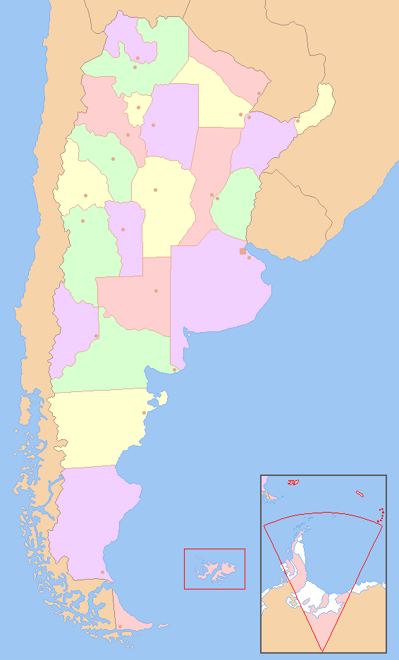
English: Colored map of the Argentine Provinces. The territories marked in red are not under a Argentine control.
Español: Carta coloreada de las provincias de la República Argentina. Los territorios en rojo no se encuentran bajo el control argentino. |
|||
| Date | 14 de diciembre | |||
| Source | Own work based on File:Argentina - Político.png | |||
| Author | Dexxter | |||
| Other versions |
|


Licensing[edit]
I, the copyright holder of this work, hereby publish it under the following license:

|
Permission is granted to copy, distribute and/or modify this document under the terms of the GNU Free Documentation License, Version 1.2 or any later version published by the Free Software Foundation; with no Invariant Sections, no Front-Cover Texts, and no Back-Cover Texts. A copy of the license is included in the section entitled GNU Free Documentation License. |
| This file is licensed under the Creative Commons Attribution-Share Alike 3.0 Unported license. | ||
| ||
| This licensing tag was added to this file as part of the GFDL licensing update. |
File history
Click on a date/time to view the file as it appeared at that time.
| Date/Time | Thumbnail | Dimensions | User | Comment | |
|---|---|---|---|---|---|
| current | 06:52, 14 December 2008 | | 566 × 936 (38 KB) | Dexxter (talk | contribs) | {{Information |Description={{en|1=Colored map of the Argentine Provinces. The territories marked in red are not under a Argentine control.}} {{es|1=Carta coloreada de las provincias de la República Argentina. Los territorios en rojo no se encuentran bajo |
You cannot overwrite this file.
File usage on Commons
The following page uses this file:
File usage on other wikis
The following other wikis use this file:
- Usage on eo.wikipedia.org
- Usage on es.wikipedia.org
- Usage on eu.wikipedia.org
- Usage on fa.wikipedia.org
- Usage on mzn.wikipedia.org
- Usage on pnb.wikipedia.org
- صوبہ سانتا کروز
- صوبہ توکومان
- صوبہ سانتا فے
- صوبہ سان لوئیس
- صوبہ سان جوآن
- صوبہ سالتا
- صوبہ ریو نیگرو
- صوبہ نیوکوئین
- صوبہ میسیؤنس
- صوبہ میندوزا
- صوبہ لا ریؤجا
- صوبہ لا پامپا
- صوبہ جوجوئے
- صوبہ فارموسا
- صوبہ اینترے ریؤس
- صوبہ کوریئنتس
- صوبہ کاردوبا
- صوبہ چوبوت
- صوبہ چاکو
- صوبہ کاتامارکا
- بیونس آئرس خودمختار شہر
- صوبہ بیونس آئرس
- کاردوبا
- پارانا (ارجنٹائن)
- لا پلاتا
- سان میگوئیل دی توکومان
- سان سلوادور دی جوجوئے
- ویدما
- سان جوآن
- سان لوئیس
- سانتا فے
- ریو گالیگوس
- فارموسا (ارجنٹائن)
- لا ریؤجا
- سانتا روزا
- پوساداس
- میندوزا
- نیوکوئن
- ریسیستینا
- راوسون
View more global usage of this file.