File:Map of the Lille, La Bassée and Armentières areas, 1914.jpg
Jump to navigation
Jump to search
Size of this preview: 800 × 498 pixels. Other resolutions: 320 × 199 pixels | 640 × 398 pixels | 1,013 × 630 pixels.
Original file (1,013 × 630 pixels, file size: 323 KB, MIME type: image/jpeg)
Captions
Captions
Add a one-line explanation of what this file represents
Summary[edit]
| Description |
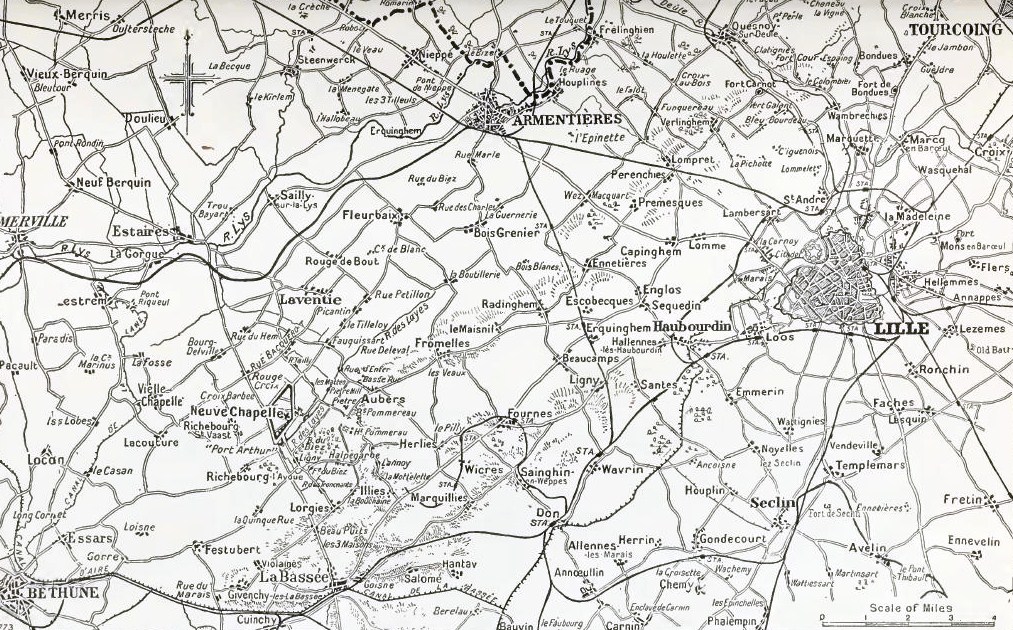
English: Map showing the vicinity of Lille, La Bassée and Armentières areas, 1914 |
| Date | |
| Source |
1) Edmonds, J. E. (1922). Military Operations France and Belgium, 1914 Mons, the Retreat to the Seine, the Marne and the Aisne August–October 1914 (1st ed.). London: Macmillan. OCLC 58962523. 2) * (1914–1921) The Times History of the War, III, London: The Times Retrieved on 16 March 2014. OCLC: 642276. |
| Author | 1) J. E. Edmonds 2) * author= |
Licensing[edit]
This media file is in the public domain in the United States. This applies to U.S. works where the copyright has expired, often because its first publication occurred prior to January 1, 1929, and if not then due to lack of notice or renewal. See this page for further explanation.
|
 | |
 |
This image might not be in the public domain outside of the United States; this especially applies in the countries and areas that do not apply the rule of the shorter term for US works, such as Canada, Mainland China (not Hong Kong or Macao), Germany, Mexico, and Switzerland. The creator and year of publication are essential information and must be provided. See Wikipedia:Public domain and Wikipedia:Copyrights for more details.
|
File history
Click on a date/time to view the file as it appeared at that time.
| Date/Time | Thumbnail | Dimensions | User | Comment | |
|---|---|---|---|---|---|
| current | 11:23, 6 August 2014 | | 1,013 × 630 (323 KB) | Keith-264 (talk | contribs) | User created page with UploadWizard |
You cannot overwrite this file.
File usage on Commons
There are no pages that use this file.