File:Map of de facto participants in World War II.png
Jump to navigation
Jump to search

Size of this preview: 800 × 338 pixels. Other resolutions: 320 × 135 pixels | 640 × 270 pixels | 1,480 × 625 pixels.
Original file (1,480 × 625 pixels, file size: 43 KB, MIME type: image/png)
Captions
Captions
Add a one-line explanation of what this file represents
Summary[edit]
| Description |
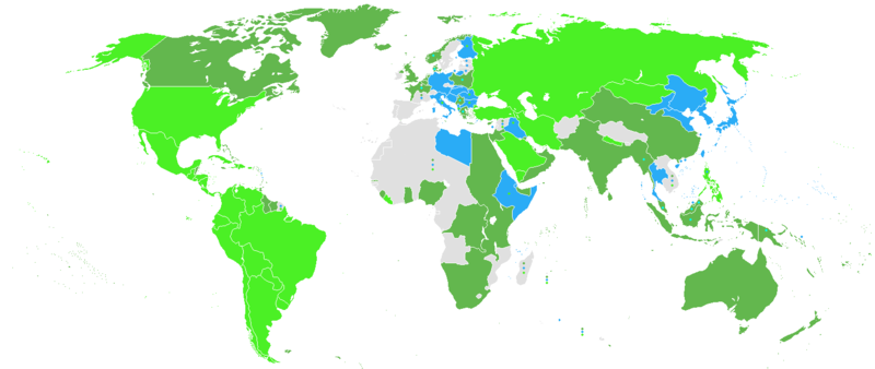
Deutsch: Karte der Kriegsführenden Staaten des Zweiten Weltkriegs:
English: Map of Participants in World War II since File:Map_of_participants_in_World_War_II.png :
Français : Carte des Pays impliqués dans la Seconde Guerre mondiale d'après File:Map_of_participants_in_World_War_II.png :
|
| Source |
This file was derived from: Map of participants in World War II.png |
| Author | Yonghokim, Joaopais + Claude Zygiel |
Licensing[edit]
I, the copyright holder of this work, hereby publish it under the following license:
This file is licensed under the Creative Commons Attribution-Share Alike 4.0 International license.
- You are free:
- to share – to copy, distribute and transmit the work
- to remix – to adapt the work
- Under the following conditions:
- attribution – You must give appropriate credit, provide a link to the license, and indicate if changes were made. You may do so in any reasonable manner, but not in any way that suggests the licensor endorses you or your use.
- share alike – If you remix, transform, or build upon the material, you must distribute your contributions under the same or compatible license as the original.
File history
Click on a date/time to view the file as it appeared at that time.
| Date/Time | Thumbnail | Dimensions | User | Comment | |
|---|---|---|---|---|---|
| current | 12:07, 12 November 2020 | | 1,480 × 625 (43 KB) | Claude Zygiel (talk | contribs) | Uploaded own work with UploadWizard |
You cannot overwrite this file.
File usage on Commons
The following page uses this file:
File usage on other wikis
The following other wikis use this file:
- Usage on fr.wikipedia.org