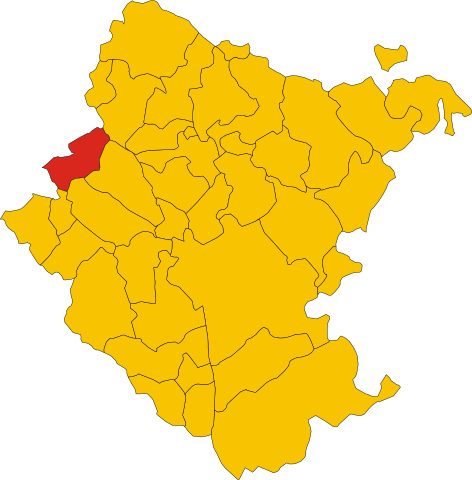
File:Map of comune of Castelfranco Piandiscò (province of Arezzo, region Tuscany, Italy).svg
Jump to navigation
Jump to search

Size of this PNG preview of this SVG file: 589 × 599 pixels. Other resolutions: 236 × 240 pixels | 472 × 480 pixels | 755 × 768 pixels | 1,006 × 1,024 pixels | 2,012 × 2,048 pixels | 3,426 × 3,487 pixels.
Original file (SVG file, nominally 3,426 × 3,487 pixels, file size: 94 KB)
Captions
Captions
Add a one-line explanation of what this file represents
Summary[edit]
.svg&action=edit§ion=1)
| Description | |
| Date | |
| Source |
This file was derived from: Map of ex-comune of Castelfranco di Sopra (province of Arezzo, region Tuscany, Italy).svg: .svg) |
| Author |
.svg)
Licensing[edit]
.svg&action=edit§ion=2)
| This work has been released into the public domain by its author, Frassionsistematiche. This applies worldwide. In some countries this may not be legally possible; if so: |
File history
Click on a date/time to view the file as it appeared at that time.
| Date/Time | Thumbnail | Dimensions | User | Comment | |
|---|---|---|---|---|---|
| current | 00:36, 1 January 2018 | | 3,426 × 3,487 (94 KB) | Krepideia (talk | contribs) | New municipality: Laterina Pergine Valdarno |
| 08:57, 19 February 2014 |  | 3,426 × 3,487 (95 KB) | Frassionsistematiche (talk | contribs) | == {{int:filedesc}} == {{Information |Description={{DescrMapComuneItaly|Castelfranco Piandiscò|||AR}} |Source={{Derived from|Map_of_comune_of_Castelfranco_di_Sopra_(province_of_Arezzo,_region_Tuscany,_Italy).svg|display=50}} |Author=*[[:File:Map_of_co... |
You cannot overwrite this file.
File usage on Commons
The following page uses this file:
File usage on other wikis
The following other wikis use this file:
- Usage on bg.wikipedia.org
- Usage on ca.wikipedia.org
- Usage on de.wikipedia.org
- Usage on el.wikipedia.org
- Usage on fr.wikipedia.org
- Usage on it.wikipedia.org
- Usage on ja.wikipedia.org
- Usage on la.wikipedia.org
- Usage on sv.wikipedia.org
- Usage on www.wikidata.org
.svg&oldid=686743216)