File:Map of Wisconsin highlighting Racine County.svg
Jump to navigation
Jump to search

Size of this PNG preview of this SVG file: 559 × 599 pixels. Other resolutions: 224 × 240 pixels | 448 × 480 pixels | 717 × 768 pixels | 956 × 1,024 pixels | 1,911 × 2,048 pixels | 4,747 × 5,087 pixels.
Original file (SVG file, nominally 4,747 × 5,087 pixels, file size: 103 KB)
Captions
Captions
Add a one-line explanation of what this file represents
Summary[edit]
| Description |
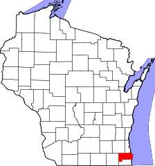
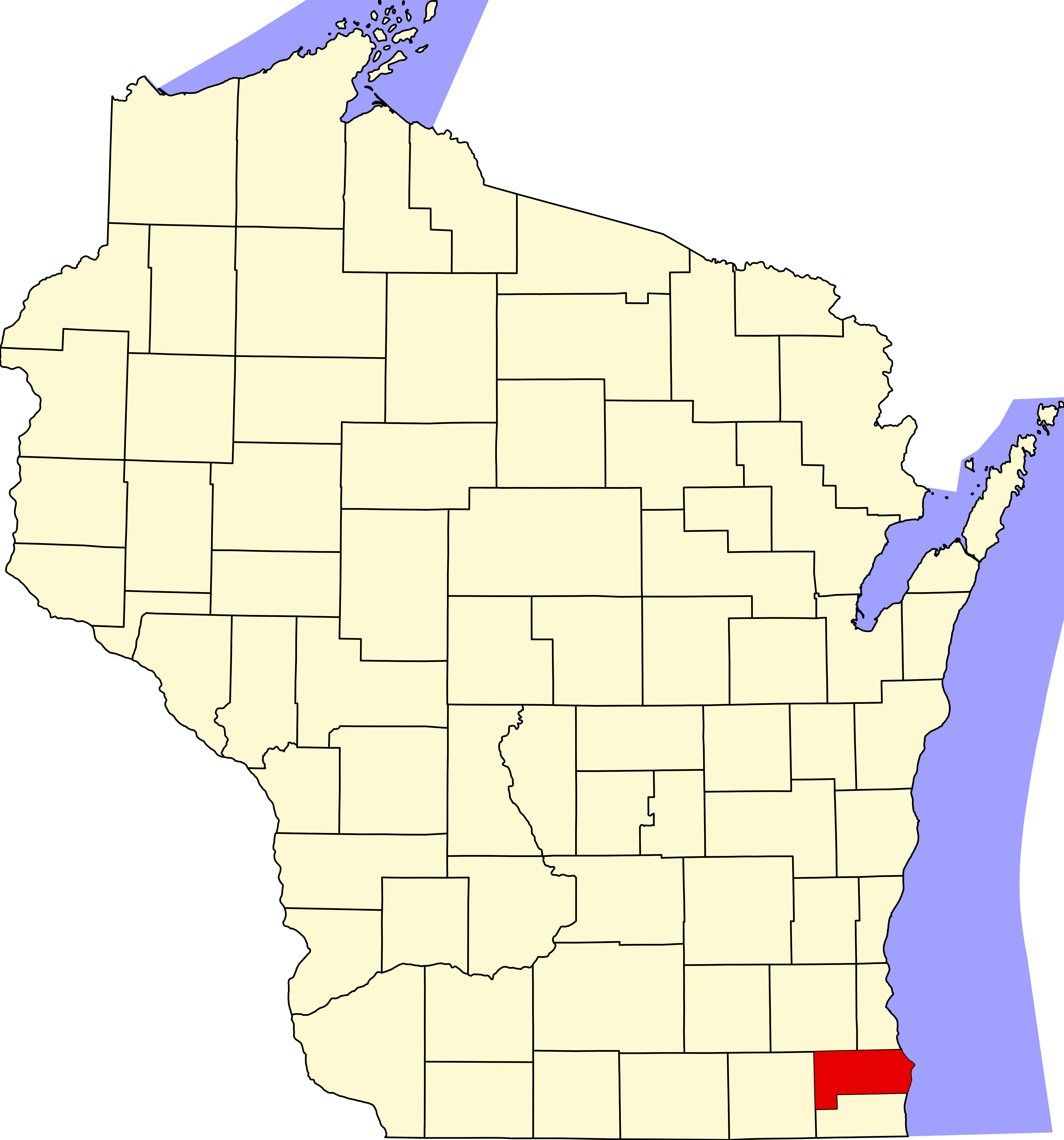
English: This is a locator map showing Racine County in Wisconsin. For more information, see Commons:United States county locator maps. |
| Date | |
| Source |
Own work: English: The maps use data from nationalatlas.gov, specifically countyp020.tar.gz on the Raw Data Download page. The maps also use state outline data from statesp020.tar.gz. The Florida maps use hydrogm020.tar.gz to display Lake Okeechobee. |
| Author | David Benbennick |
Licensing[edit]
| I, the copyright holder of this work, release this work into the public domain. This applies worldwide. In some countries this may not be legally possible; if so: I grant anyone the right to use this work for any purpose, without any conditions, unless such conditions are required by law. |
File history
Click on a date/time to view the file as it appeared at that time.
| Date/Time | Thumbnail | Dimensions | User | Comment | |
|---|---|---|---|---|---|
| current | 00:24, 13 February 2006 | | 4,747 × 5,087 (103 KB) | David Benbennick (talk | contribs) | {{subst:User:Dbenbenn/clm|county=Racine County|state=Wisconsin|type=county}} |
| 18:18, 12 February 2006 |  | 4,747 × 5,087 (103 KB) | David Benbennick (talk | contribs) | {{subst:User:Dbenbenn/clm|county=Racine County|state=Wisconsin|type=county}} |
You cannot overwrite this file.
File usage on Commons
The following 8 pages use this file:
- Category:Births in Racine County, Wisconsin
- Category:Deaths in Racine County, Wisconsin
- Category:Geography of Racine County, Wisconsin
- Category:Maps of Racine County, Wisconsin
- Category:People of Racine County, Wisconsin
- Category:Populated places in Racine County, Wisconsin
- Category:Racine County, Wisconsin
- Category:Transport in Racine County, Wisconsin
File usage on other wikis
The following other wikis use this file:
- Usage on ar.wikipedia.org
- راسين (ويسكونسن)
- بلدة برلنغتون (ويسكونسن)
- دوفر (مقاطعة راسين)
- نورواي (ويسكونسن)
- ريمون (ويسكونسن)
- يوركفيل (ويسكونسن)
- برلنغتون (ويسكونسن)
- ستورتيفانت (ويسكونسن)
- واترفورد (ويسكونسن)
- كالدونيا (ويسكونسن)
- ماونت بليستانت (ويسكونسن)
- روتشستر (ويسكونسن)
- يونيون غروف (ويسكونسن)
- وايند بوينت (ويسكونسن)
- إيلموود بارك (ويسكونسن)
- نورث باي (ويسكونسن)
- قالب:مقاطعة راسين (ويسكونسن)
- مقاطعة راسين (ولاية ويسكونسن)
- براونز لاك (ويسكونسن)
- إيغل لاك (ويسكونسن)
- قالب:مقاطعة راسين (ولاية ويسكونسن)
- Usage on bg.wikipedia.org
- Usage on bpy.wikipedia.org
- Usage on cdo.wikipedia.org
- Usage on ceb.wikipedia.org
- Usage on ce.wikipedia.org
- Usage on cy.wikipedia.org
- Usage on de.wikipedia.org
- Usage on en.wikipedia.org
- List of counties in Wisconsin
- Racine County, Wisconsin
- Bohners Lake, Wisconsin
- Browns Lake, Wisconsin
- Caledonia, Wisconsin
- Dover, Racine County, Wisconsin
- Eagle Lake, Wisconsin
- Elmwood Park, Wisconsin
- Franksville, Wisconsin
- Mount Pleasant, Wisconsin
- North Bay, Wisconsin
- Norway, Wisconsin
- Racine, Wisconsin
- Raymond, Wisconsin
- Sturtevant, Wisconsin
- Union Grove, Wisconsin
- Tichigan, Wisconsin
- Wind Lake, Wisconsin
View more global usage of this file.