File:Map of Virginia counties and cities.svg
Jump to navigation
Jump to search

Size of this PNG preview of this SVG file: 800 × 347 pixels. Other resolutions: 320 × 139 pixels | 640 × 278 pixels | 1,024 × 444 pixels | 1,280 × 555 pixels | 2,560 × 1,110 pixels | 7,486 × 3,247 pixels.
Original file (SVG file, nominally 7,486 × 3,247 pixels, file size: 224 KB)
Captions
Captions
Add a one-line explanation of what this file represents
Summary[edit]
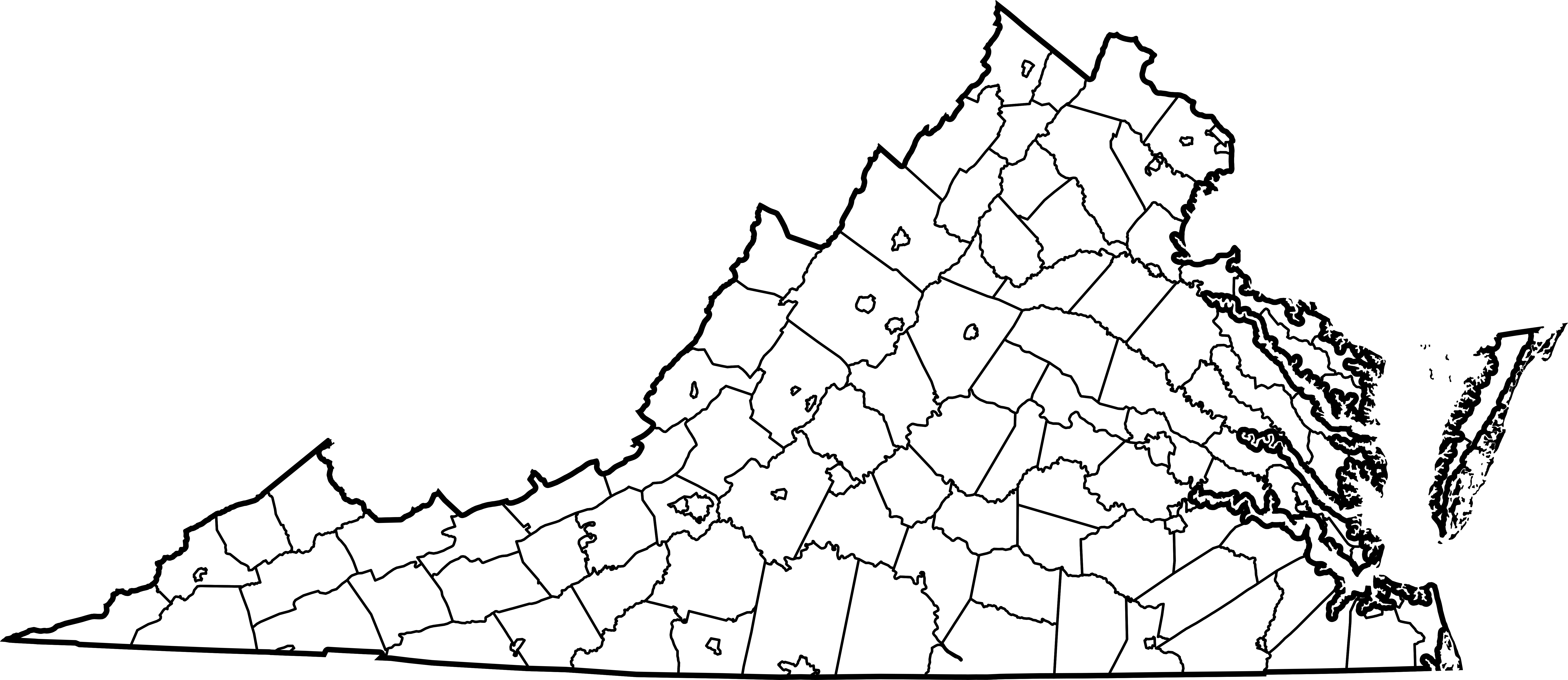
| Description | Map of all counties and independent cities in Virginia. Derived from Image:Map of Virginia highlighting Richmond County.svg, but with highlighting removed and all internal ids for counties changed to include "_County" to avoid conflicts with cities with the same name. |
| Date | 21 April 2007 (original upload date) |
| Source | No machine-readable source provided. Own work assumed (based on copyright claims). |
| Author | No machine-readable author provided. Mike Dillon assumed (based on copyright claims). |
Licensing[edit]
| This work has been released into the public domain by its author, Dbenbenn. This applies worldwide. In some countries this may not be legally possible; if so: |
| I, the copyright holder of this work, release this work into the public domain. This applies worldwide. In some countries this may not be legally possible; if so: I grant anyone the right to use this work for any purpose, without any conditions, unless such conditions are required by law. |
derivative works[edit]
Derivative works of this file:
File history
Click on a date/time to view the file as it appeared at that time.
| Date/Time | Thumbnail | Dimensions | User | Comment | |
|---|---|---|---|---|---|
| current | 01:34, 21 April 2007 | | 7,486 × 3,247 (224 KB) | Mike Dillon (talk | contribs) | Map of all counties and en:independent cities in Virginia. Derived from Image:Map of Virginia highlighting Richmond County.svg, but with highlighting removed and all internal ids for counties changed to include "_County" to avoid conflicts |
You cannot overwrite this file.
File usage on Commons
The following page uses this file:
File usage on other wikis
The following other wikis use this file: