File:Map of Reconnoitering of Chesapeake Bay, No. 6, Part of Nansemond River, from Newmans Point to Pig Point - DPLA - 86e90d5dc7d44940460e062f654fd409 (page 2).jpg
Jump to navigation
Jump to search

Size of this preview: 346 × 599 pixels. Other resolutions: 138 × 240 pixels | 277 × 480 pixels | 444 × 768 pixels | 591 × 1,024 pixels | 1,183 × 2,048 pixels | 6,470 × 11,197 pixels.
Original file (6,470 × 11,197 pixels, file size: 4.56 MB, MIME type: image/jpeg)
Captions
Captions
Add a one-line explanation of what this file represents
Summary[edit]
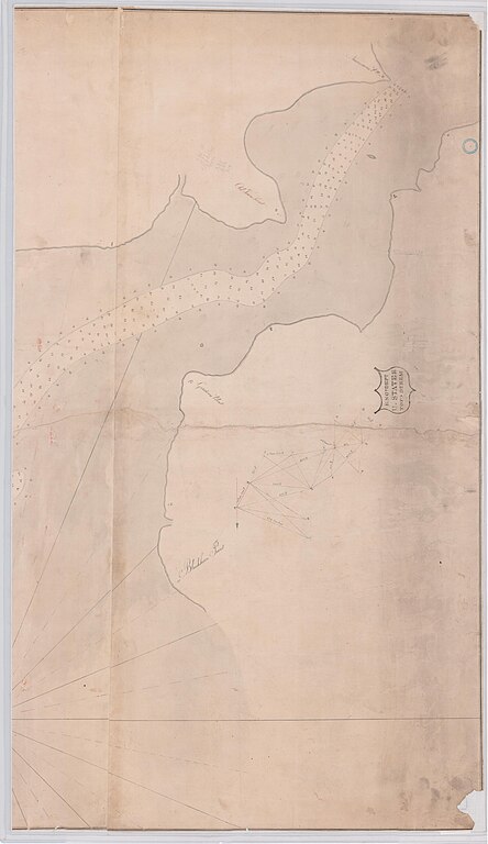
| Map of Reconnoitering of Chesapeake Bay, No. 6, Part of Nansemond River, from Newmans Point to Pig Point
( |
||||||||||||||
|---|---|---|---|---|---|---|---|---|---|---|---|---|---|---|
| Creator | War Department. Office of the Chief of Engineers. 1818-9/18/1947 | |||||||||||||
| Title |
Map of Reconnoitering of Chesapeake Bay, No. 6, Part of Nansemond River, from Newmans Point to Pig Point |
|||||||||||||
| Date | 1818 | |||||||||||||
| Collection |
|
|||||||||||||
| Source/Photographer |
|
|||||||||||||
| Permission (Reusing this file) |
|
|||||||||||||
| Standardized rights statement |
|
|||||||||||||


.jpg&action=edit§ion=1)
File history
Click on a date/time to view the file as it appeared at that time.
| Date/Time | Thumbnail | Dimensions | User | Comment | |
|---|---|---|---|---|---|
| current | 07:24, 8 March 2023 | | 6,470 × 11,197 (4.56 MB) | DPLA bot (talk | contribs) | Uploading DPLA ID dpla:86e90d5dc7d44940460e062f654fd409 |
You cannot overwrite this file.
File usage on Commons
The following page uses this file:
.jpg)
.jpg&oldid=864460678)