File:Map of PRC with province names zh-cn.svg
Jump to navigation
Jump to search

Size of this PNG preview of this SVG file: 713 × 599 pixels. Other resolutions: 286 × 240 pixels | 571 × 480 pixels | 914 × 768 pixels | 1,218 × 1,024 pixels | 2,436 × 2,048 pixels | 1,217 × 1,023 pixels.
Original file (SVG file, nominally 1,217 × 1,023 pixels, file size: 1.02 MB)
Captions
Captions
Add a one-line explanation of what this file represents
Summary[edit]
| Description |
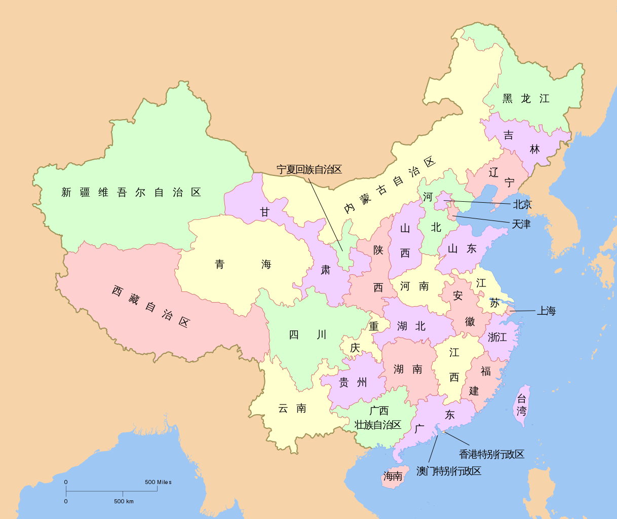
中文(中国大陆):中华人民共和国地图,显示有省级行政区名称。
English: A map of the People Republic of China, with province names. |
| Date | |
| Source | Created by User:PhiLiP, based on some bitmap files. |
| Author | Created by User:PhiLiP. |
| Other versions |
|


Licensing[edit]
I, the copyright holder of this work, hereby publish it under the following license:

|
Permission is granted to copy, distribute and/or modify this document under the terms of the GNU Free Documentation License, Version 1.2 or any later version published by the Free Software Foundation; with no Invariant Sections, no Front-Cover Texts, and no Back-Cover Texts. A copy of the license is included in the section entitled GNU Free Documentation License. |
| This file is licensed under the Creative Commons Attribution-Share Alike 3.0 Unported license. | ||
| ||
| This licensing tag was added to this file as part of the GFDL licensing update. |
File history
Click on a date/time to view the file as it appeared at that time.
| Date/Time | Thumbnail | Dimensions | User | Comment | |
|---|---|---|---|---|---|
| current | 21:30, 4 October 2011 | | 1,217 × 1,023 (1.02 MB) | Ras67 (talk | contribs) | cropped |
| 17:33, 1 July 2010 |  | 1,223 × 1,029 (1.31 MB) | DieBucheBot (talk | contribs) | Trying to fix SVG using scour | |
| 05:10, 6 November 2007 |  | 1,223 × 1,029 (1.37 MB) | PhiLiP (talk | contribs) | ||
| 12:47, 5 November 2007 |  | 1,223 × 1,029 (1.39 MB) | PhiLiP (talk | contribs) | ||
| 12:30, 5 November 2007 |  | 1,223 × 1,029 (1.39 MB) | PhiLiP (talk | contribs) | == Summary == {{Information |Description= {{zh-cn|中华人民共和国地图,显示有省级行政区名称。}} {{en|A map of the People Republic of China, with province names. }} |Source=Created by User:PhiLiP, based on some bitmap files. |Date=N |
You cannot overwrite this file.
File usage on Commons
The following 3 pages use this file:
File usage on other wikis
The following other wikis use this file:
- Usage on zh-classical.wikipedia.org
- Usage on zh.wikipedia.org
- Usage on zh.wikivoyage.org