File:Map of Oregon highlighting Clackamas County.svg
Jump to navigation
Jump to search

Size of this PNG preview of this SVG file: 800 × 596 pixels. Other resolutions: 320 × 239 pixels | 640 × 477 pixels | 1,024 × 764 pixels | 1,280 × 954 pixels | 2,560 × 1,909 pixels | 6,451 × 4,810 pixels.
Original file (SVG file, nominally 6,451 × 4,810 pixels, file size: 136 KB)
Captions
Captions
Add a one-line explanation of what this file represents
Summary[edit]
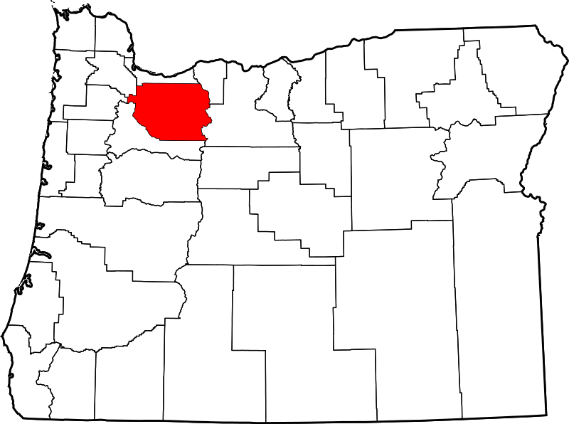
David Benbennick made this map. For more information, see Commons:United States county locator maps.
| I, the copyright holder of this work, release this work into the public domain. This applies worldwide. In some countries this may not be legally possible; if so: I grant anyone the right to use this work for any purpose, without any conditions, unless such conditions are required by law. |
File history
Click on a date/time to view the file as it appeared at that time.
| Date/Time | Thumbnail | Dimensions | User | Comment | |
|---|---|---|---|---|---|
| current | 16:16, 12 February 2006 | | 6,451 × 4,810 (136 KB) | David Benbennick (talk | contribs) | {{subst:User:Dbenbenn/clm|county=Clackamas County|state=Oregon|type=county}} |
You cannot overwrite this file.
File usage on Commons
The following 8 pages use this file:
- Category:Bridges in Clackamas County, Oregon
- Category:Clackamas County, Oregon
- Category:Clackamas County, Oregon Image by Chris Light
- Category:Deaths in Clackamas County, Oregon
- Category:Maps of Clackamas County, Oregon
- Category:National Register of Historic Places in Clackamas County, Oregon
- Category:People of Clackamas County, Oregon
- Category:Populated places in Clackamas County, Oregon
File usage on other wikis
The following other wikis use this file:
- Usage on ar.wikipedia.org
- بورتلاند (أوريغون)
- مقاطعة كلاكماس (أوريغون)
- ليك أوسويغو
- ميلواوكي
- أوريغن سيتي
- ساندي (أوريغون)
- توالاتين
- ويست لين
- بارلو
- كنبي
- دمشق (أوريغون)
- إستاكادا
- غلادستون (أوريغون)
- هابي فالي
- جونسون سيتي
- مولالا
- ريفرغروف
- ويلسونفيل
- قائمة مقاطعات أوريغون
- أوك غروف (أوريغون)
- جينينغز لودج (أوريغون)
- ماونت هود (أوريغون)
- قالب:مقاطعة كلاكماس (أوريغون)
- بورينغ (أوريغون)
- Usage on bg.wikipedia.org
- Usage on bpy.wikipedia.org
- Usage on ca.wikipedia.org
- Portland
- Barlow (Oregon)
- Canby (Oregon)
- Clackamas
- Estacada
- Gladstone (Oregon)
- Happy Valley (Oregon)
- Jennings Lodge
- Johnson City (Oregon)
- Lake Oswego
- Milwaukie
- Molalla
- Mount Hood Village
- Oak Grove (Oregon)
- Oatfield
- Oregon City
- Rivergrove
- Sandy (Oregon)
- West Linn
- Wilsonville (Oregon)
- Plantilla:Comtat de Clackamas
- Llista de comtats d'Oregon
- Usage on cdo.wikipedia.org
View more global usage of this file.