File:Map of Oklahoma counties.svg
Jump to navigation
Jump to search

Size of this PNG preview of this SVG file: 800 × 397 pixels. Other resolutions: 320 × 159 pixels | 640 × 317 pixels | 1,024 × 508 pixels | 1,280 × 635 pixels | 2,560 × 1,269 pixels | 7,730 × 3,832 pixels.
Original file (SVG file, nominally 7,730 × 3,832 pixels, file size: 59 KB)
Captions
Captions
Add a one-line explanation of what this file represents
Summary[edit]
| Description |
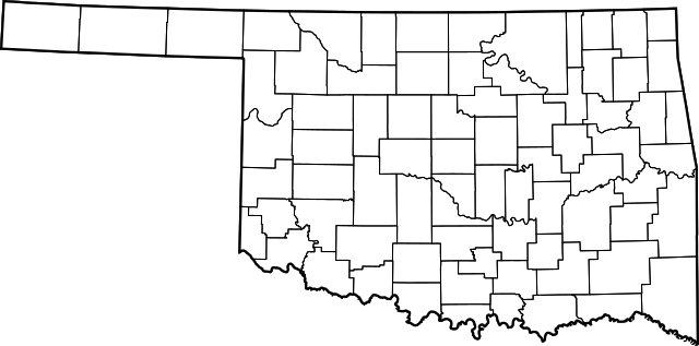
English: An SVG map of the counties of Oklahoma |
| Date | |
| Source | Based on File:Map of Oklahoma highlighting Alfalfa County.svg |
| Author | David Benbennick |
Licensing[edit]
| This work has been released into the public domain by its author, David Benbennick. This applies worldwide. In some countries this may not be legally possible; if so: David Benbennick grants anyone the right to use this work for any purpose, without any conditions, unless such conditions are required by law.
|
File history
Click on a date/time to view the file as it appeared at that time.
| Date/Time | Thumbnail | Dimensions | User | Comment | |
|---|---|---|---|---|---|
| current | 20:50, 20 July 2020 | | 7,730 × 3,832 (59 KB) | Kaldari (talk | contribs) | new version |
| 20:46, 20 July 2020 |  | 7,742 × 3,844 (49 KB) | Kaldari (talk | contribs) | Uploaded a work by David Benbennick from Based on File:Map of Oklahoma highlighting Alfalfa County.svg with UploadWizard |
You cannot overwrite this file.
File usage on Commons
There are no pages that use this file.