File:Map of Montana highlighting Flathead County.svg
Jump to navigation
Jump to search

Size of this PNG preview of this SVG file: 800 × 461 pixels. Other resolutions: 320 × 185 pixels | 640 × 369 pixels | 1,024 × 591 pixels | 1,280 × 738 pixels | 2,560 × 1,477 pixels | 9,194 × 5,303 pixels.
Original file (SVG file, nominally 9,194 × 5,303 pixels, file size: 122 KB)
Captions
Captions
Add a one-line explanation of what this file represents
Summary[edit]
| Description |
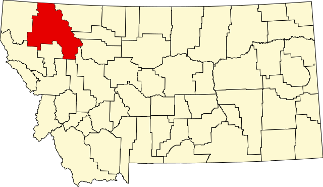
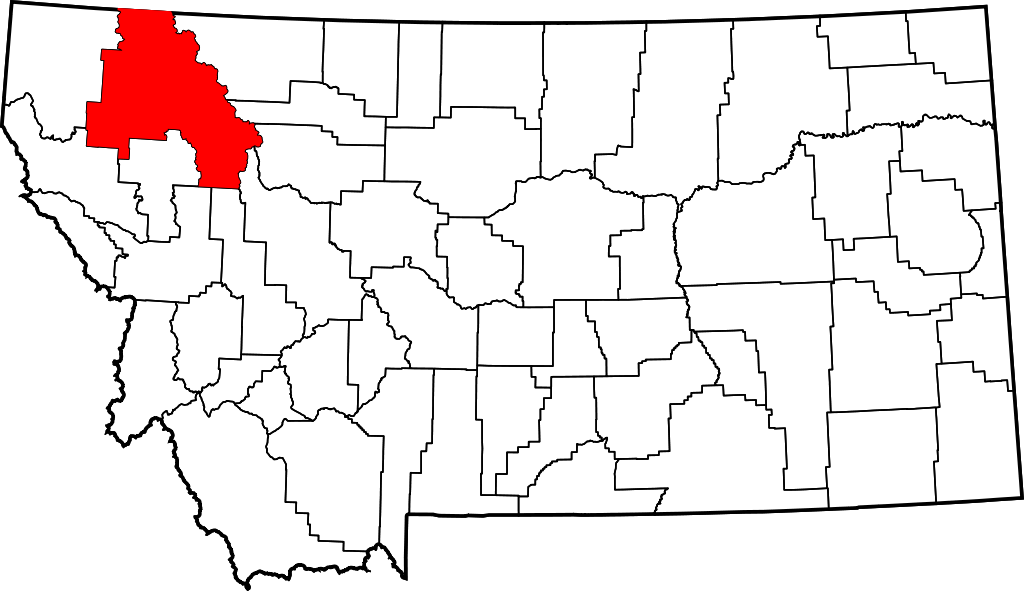
English: This is a locator map showing Flathead County in Montana. For more information, see Commons:United States county locator maps. |
| Date | |
| Source |
Own work: English: The maps use data from nationalatlas.gov, specifically countyp020.tar.gz on the Raw Data Download page. The maps also use state outline data from statesp020.tar.gz. The Florida maps use hydrogm020.tar.gz to display Lake Okeechobee. |
| Author | David Benbennick |
Licensing[edit]
| I, the copyright holder of this work, release this work into the public domain. This applies worldwide. In some countries this may not be legally possible; if so: I grant anyone the right to use this work for any purpose, without any conditions, unless such conditions are required by law. |
File history
Click on a date/time to view the file as it appeared at that time.
| Date/Time | Thumbnail | Dimensions | User | Comment | |
|---|---|---|---|---|---|
| current | 13:29, 12 February 2006 | | 9,194 × 5,303 (122 KB) | David Benbennick (talk | contribs) | {{subst:User:Dbenbenn/clm|county=Flathead County|state=Montana|type=county}} |
You cannot overwrite this file.
File usage on Commons
The following 9 pages use this file:
- Category:Births in Flathead County, Montana
- Category:Deaths in Flathead County, Montana
- Category:Fire lookout towers in Flathead County, Montana
- Category:Flathead County, Montana
- Category:Flathead County, Montana Image by Chris Light
- Category:Maps of Flathead County, Montana
- Category:People of Flathead County, Montana
- Category:Populated places in Flathead County, Montana
- Category:Transport in Flathead County, Montana
File usage on other wikis
The following other wikis use this file:
- Usage on ar.wikipedia.org
- Usage on bg.wikipedia.org
- Usage on bpy.wikipedia.org
- Usage on ca.wikipedia.org
- Usage on cdo.wikipedia.org
- Usage on ceb.wikipedia.org
- Usage on cy.wikipedia.org
- Usage on de.wikipedia.org
- Usage on en.wikipedia.org
- List of counties in Montana
- Flathead County, Montana
- Bigfork, Montana
- Columbia Falls, Montana
- Coram, Montana
- Evergreen, Montana
- Hungry Horse, Montana
- Kalispell, Montana
- Lakeside, Montana
- Martin City, Montana
- Somers, Montana
- Whitefish, Montana
- Niarada, Montana
- Flathead Indian Reservation
- Northwest Montana History Museum
- Polebridge, Montana
- Montana Academy
- West Glacier, Montana
- User:Nyttend/County templates/MT
- Template:Flathead County, Montana
- Essex, Montana
View more global usage of this file.