File:Map of Massachusetts highlighting Hampden County.svg
Jump to navigation
Jump to search

Size of this PNG preview of this SVG file: 800 × 489 pixels. Other resolutions: 320 × 196 pixels | 640 × 391 pixels | 1,024 × 626 pixels | 1,280 × 782 pixels | 2,560 × 1,565 pixels | 2,976 × 1,819 pixels.
Original file (SVG file, nominally 2,976 × 1,819 pixels, file size: 43 KB)
Captions
Captions
Add a one-line explanation of what this file represents
Summary[edit]
| Description |
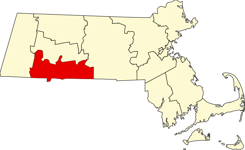
English: This is a locator map showing Hampden County in Massachusetts. For more information, see Commons:United States county locator maps. |
| Date | |
| Source |
Own work: English: The maps use data from nationalatlas.gov, specifically countyp020.tar.gz on the Raw Data Download page. The maps also use state outline data from statesp020.tar.gz. The Florida maps use hydrogm020.tar.gz to display Lake Okeechobee. |
| Author | David Benbennick |
Licensing[edit]
| I, the copyright holder of this work, release this work into the public domain. This applies worldwide. In some countries this may not be legally possible; if so: I grant anyone the right to use this work for any purpose, without any conditions, unless such conditions are required by law. |
File history
Click on a date/time to view the file as it appeared at that time.
| Date/Time | Thumbnail | Dimensions | User | Comment | |
|---|---|---|---|---|---|
| current | 12:49, 12 February 2006 | | 2,976 × 1,819 (43 KB) | David Benbennick (talk | contribs) | {{subst:User:Dbenbenn/clm|county=Hampden County|state=Massachusetts|type=county}} |
You cannot overwrite this file.
File usage on Commons
The following 10 pages use this file:
- Category:Births in Hampden County, Massachusetts
- Category:Cemeteries in Hampden County, Massachusetts
- Category:Deaths in Hampden County, Massachusetts
- Category:Education in Hampden County, Massachusetts
- Category:Hampden County, Massachusetts
- Category:History of Hampden County, Massachusetts
- Category:Maps of Hampden County, Massachusetts
- Category:People of Hampden County, Massachusetts
- Category:Populated places in Hampden County, Massachusetts
- Category:Transport in Hampden County, Massachusetts
File usage on other wikis
The following other wikis use this file:
- Usage on ar.wikipedia.org
- Usage on bg.wikipedia.org
- Usage on bpy.wikipedia.org
- Usage on ca.wikipedia.org
- Springfield (Massachusetts)
- Agawam
- Blandford (Massachusetts)
- Brimfield (Massachusetts)
- Chester (Massachusetts)
- Chicopee
- East Longmeadow
- Granville (Massachusetts)
- Hampden (Massachusetts)
- Holland (Massachusetts)
- Holyoke (Massachusetts)
- Longmeadow
- Ludlow (Massachusetts)
- Monson (Massachusetts)
- Montgomery (Massachusetts)
- Palmer (Massachusetts)
- Russell (Massachusetts)
- Southwick
- Tolland (Massachusetts)
- Wales (Massachusetts)
- West Springfield (Massachusetts)
- Westfield (Massachusetts)
- Wilbraham
- Plantilla:Comtat de Hampden (Massachusetts)
- Usage on cdo.wikipedia.org
- Usage on ceb.wikipedia.org
- Usage on ce.wikipedia.org
- Usage on cs.wikipedia.org
- Usage on cy.wikipedia.org
- Usage on da.wikipedia.org
- Usage on de.wikipedia.org
- Usage on en.wikipedia.org
View more global usage of this file.