File:Map of Maryland highlighting Montgomery County.svg
Jump to navigation
Jump to search

Size of this PNG preview of this SVG file: 800 × 419 pixels. Other resolutions: 320 × 167 pixels | 640 × 335 pixels | 1,024 × 536 pixels | 1,280 × 670 pixels | 2,560 × 1,340 pixels | 3,858 × 2,019 pixels.
Original file (SVG file, nominally 3,858 × 2,019 pixels, file size: 139 KB)
Captions
Captions
Add a one-line explanation of what this file represents
Summary[edit]
| Description |
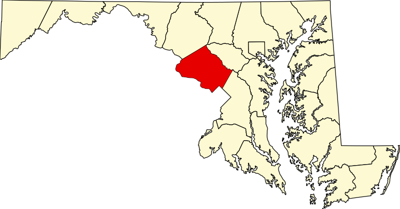
Locator map of Montgomery County — in Maryland, adjacent to the Potomac River and Washington, D.C.
|
| Date | 12 February 2006 (original upload date) |
| Source | No machine-readable source provided. Own work assumed (based on copyright claims). |
| Author | No machine-readable author provided. David Benbennick assumed (based on copyright claims). |
Licensing[edit]
| I, the copyright holder of this work, release this work into the public domain. This applies worldwide. In some countries this may not be legally possible; if so: I grant anyone the right to use this work for any purpose, without any conditions, unless such conditions are required by law. |
File history
Click on a date/time to view the file as it appeared at that time.
| Date/Time | Thumbnail | Dimensions | User | Comment | |
|---|---|---|---|---|---|
| current | 12:49, 12 February 2006 | | 3,858 × 2,019 (139 KB) | David Benbennick (talk | contribs) | {{subst:User:Dbenbenn/clm|county=Montgomery County|state=Maryland|type=county}} |
You cannot overwrite this file.
File usage on Commons
The following 18 pages use this file:
- Category:Births in Montgomery County, Maryland
- Category:Bridges in Montgomery County, Maryland
- Category:Buildings in Montgomery County, Maryland
- Category:Census-designated places in Montgomery County, Maryland
- Category:Companies based in Montgomery County, Maryland
- Category:Deaths in Montgomery County, Maryland
- Category:Geography of Montgomery County, Maryland
- Category:Government of Montgomery County, Maryland
- Category:Maryland Route 650 in Montgomery County
- Category:Montgomery County, Maryland
- Category:National Register of Historic Places in Montgomery County, Maryland
- Category:People of Montgomery County, Maryland
- Category:Populated places in Montgomery County, Maryland
- Category:Religion in Montgomery County, Maryland
- Category:Restaurants in Montgomery County, Maryland
- Category:Roads in Montgomery County, Maryland
- Category:Schools in Montgomery County, Maryland
- Category:Universities and colleges in Montgomery County, Maryland
File usage on other wikis
The following other wikis use this file:
- Usage on ar.wikipedia.org
- بيثيسدا
- روكفيل (ميريلاند)
- ويتون (ماريلاند)
- مقاطعة مونتغومري (ماريلاند)
- بارنسفيل (ماريلاند)
- بروكفيل (ماريلاند)
- تشيفي تشيس (ماريلاند)
- تشيفي تشيس فيو (ماريلاند)
- تشيفي تشيس فيليج (ماريلاند)
- غاريت بارك (ماريلاند)
- غلين إيكو (ماريلاند)
- كنسينغتون (ماريلاند)
- لايتونسفيل (ماريلاند)
- بوليسفيل (ماريلاند)
- سومرست (ماريلاند)
- واشنطن غروف (ماريلاند)
- جيرمانتاون (ميريلاند)
- غايثرسبيرغ (ميريلاند)
- تاكوما بارك
- تشيفي تشاس سكشن ثري (ماريلاند)
- تشيفي تشاس سكشن فايو (ماريلاند)
- مارتيس أدديشنز (ماريلاند)
- نورث تشيفي تشاس (ماريلاند)
- قائمة مقاطعات ماريلاند
- نورث كينسينغتون (ماريلند)
- ساوث كينسينغتون (ماريلند)
- تشيفي تشيس (ماريلند)
- أولني (ماريلند)
- داماسكس (ماريلند)
- أسبن هيل (ماريلند)
- سيلفر سبرينغ (ماريلند)
- نورث بوتوماك (ماريلند)
- كيمب ميل (ماريلند)
- فورست جلان (ماريلند)
- نورث بيثيسدا (ماريلند)
- بوتوماك (ماريلند)
- قالب:مقاطعة مونتغومري (ماريلاند)
- بورتونسفيل (ماريلند)
- كابين جون (ماريلند)
- Usage on azb.wikipedia.org
- Usage on bg.wikipedia.org
- Usage on bpy.wikipedia.org
- Usage on ca.wikipedia.org
- Usage on cdo.wikipedia.org
- Usage on ceb.wikipedia.org
- Usage on ce.wikipedia.org
- Usage on cy.wikipedia.org
View more global usage of this file.