File:Map of Great Plains2.jpg
Jump to navigation
Jump to search
Size of this preview: 800 × 493 pixels. Other resolutions: 320 × 197 pixels | 640 × 394 pixels | 960 × 591 pixels.
Original file (960 × 591 pixels, file size: 48 KB, MIME type: image/jpeg)
Captions
Captions
Add a one-line explanation of what this file represents

|
This locator map image could be re-created using vector graphics as an SVG file. This has several advantages; see Commons:Media for cleanup for more information. If an SVG form of this image is available, please upload it and afterwards replace this template with
{{vector version available|new image name}}.
It is recommended to name the SVG file “Map of Great Plains2.svg”—then the template Vector version available (or Vva) does not need the new image name parameter. |


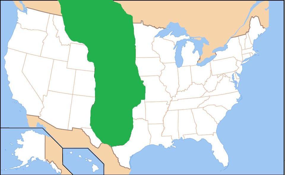
| Description | Map of the Great Plains (shaded in green). | ||
| Date | |||
| Source | Own work (Original text: own work, based on image from Center for Great Plains Research at Univ. of Nebraska-Lincoln) | ||
| Author | Before My Ken | ||
| Permission (Reusing this file) |
|
File history
Click on a date/time to view the file as it appeared at that time.
| Date/Time | Thumbnail | Dimensions | User | Comment | |
|---|---|---|---|---|---|
| current | 10:47, 4 April 2009 | | 960 × 591 (48 KB) | Before My Ken (talk | contribs) | slight cleanup |
| 10:33, 4 April 2009 |  | 960 × 591 (48 KB) | Before My Ken (talk | contribs) | {{Information |Description=Map of the Great Plains (shaded in green). |Source=own work, based on image from [http://www.unl.edu/plains/about/map.shtml Center for Great Plains Research at Univ. of Nebraska-Lincoln] |Date=2008-04-04 |Author=[[User:Ed Fitzge |
You cannot overwrite this file.
File usage on Commons
There are no pages that use this file.
File usage on other wikis
The following other wikis use this file:
- Usage on en.wikipedia.org
- Usage on eo.wikipedia.org
- Usage on es.wikipedia.org
- Usage on it.wikipedia.org
- Usage on pnb.wikipedia.org
- Usage on pt.wikipedia.org
- Usage on ro.wikipedia.org
- Usage on ru.wikipedia.org
- Usage on sco.wikipedia.org
- Usage on sv.wikipedia.org
- Usage on tr.wikipedia.org
- Usage on zh.wikipedia.org