File:Map of Crozet Islands.jpg
Jump to navigation
Jump to search
Size of this preview: 800 × 490 pixels. Other resolutions: 320 × 196 pixels | 640 × 392 pixels | 1,024 × 628 pixels | 1,279 × 784 pixels.
Original file (1,279 × 784 pixels, file size: 206 KB, MIME type: image/jpeg)
Captions
Captions
Add a one-line explanation of what this file represents
Summary[edit]
| Description |
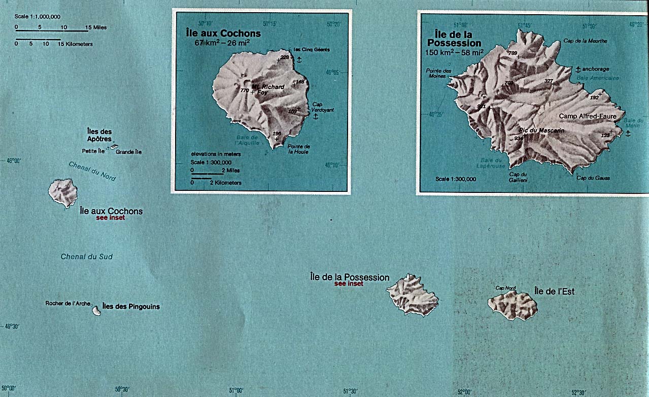
Deutsch: Karte der Crozet-Inseln in Indischen Ozean
English: Map of the Crozet Islands (France) |
| Date | |
| Source |
Original text : * Originally published: The Indian Ocean Atlas, published by the Central Intelligence Agency
|
| Author | Central Intelligence Agency. |
Licensing[edit]
| This image is a work of a Central Intelligence Agency employee, taken or made as part of that person's official duties. As a Work of the United States Government, this image or media is in the public domain in the United States.
|

|
Original upload log[edit]
Transferred from en.wikipedia to Commons by Tm using CommonsHelper. All following user names refer to en.wikipedia.
- 2004-05-12 10:58 Lupo 1279×784× (210452 bytes) From the [http://www.lib.utexas.edu/maps/indian_ocean.html Perry-Castañeda Library].<br>{{msg:PD}}
File history
Click on a date/time to view the file as it appeared at that time.
| Date/Time | Thumbnail | Dimensions | User | Comment | |
|---|---|---|---|---|---|
| current | 18:54, 26 May 2009 | | 1,279 × 784 (206 KB) | File Upload Bot (Magnus Manske) (talk | contribs) | {{BotMoveToCommons|en.wikipedia|year={{subst:CURRENTYEAR}}|month={{subst:CURRENTMONTHNAME}}|day={{subst:CURRENTDAY}}}} {{Information |Description={{en|''no original description''}} |Source=Transferred from [http://en.wikipedia.org en.wikipedia]; transfer |
You cannot overwrite this file.
File usage on Commons
The following page uses this file: