File:Map of California highlighting Trinity County.svg
Jump to navigation
Jump to search

Size of this PNG preview of this SVG file: 521 × 599 pixels. Other resolutions: 209 × 240 pixels | 417 × 480 pixels | 668 × 768 pixels | 891 × 1,024 pixels | 1,781 × 2,048 pixels | 9,164 × 10,536 pixels.
Original file (SVG file, nominally 9,164 × 10,536 pixels, file size: 229 KB)
Captions
Captions
Add a one-line explanation of what this file represents
Summary[edit]
| Description |
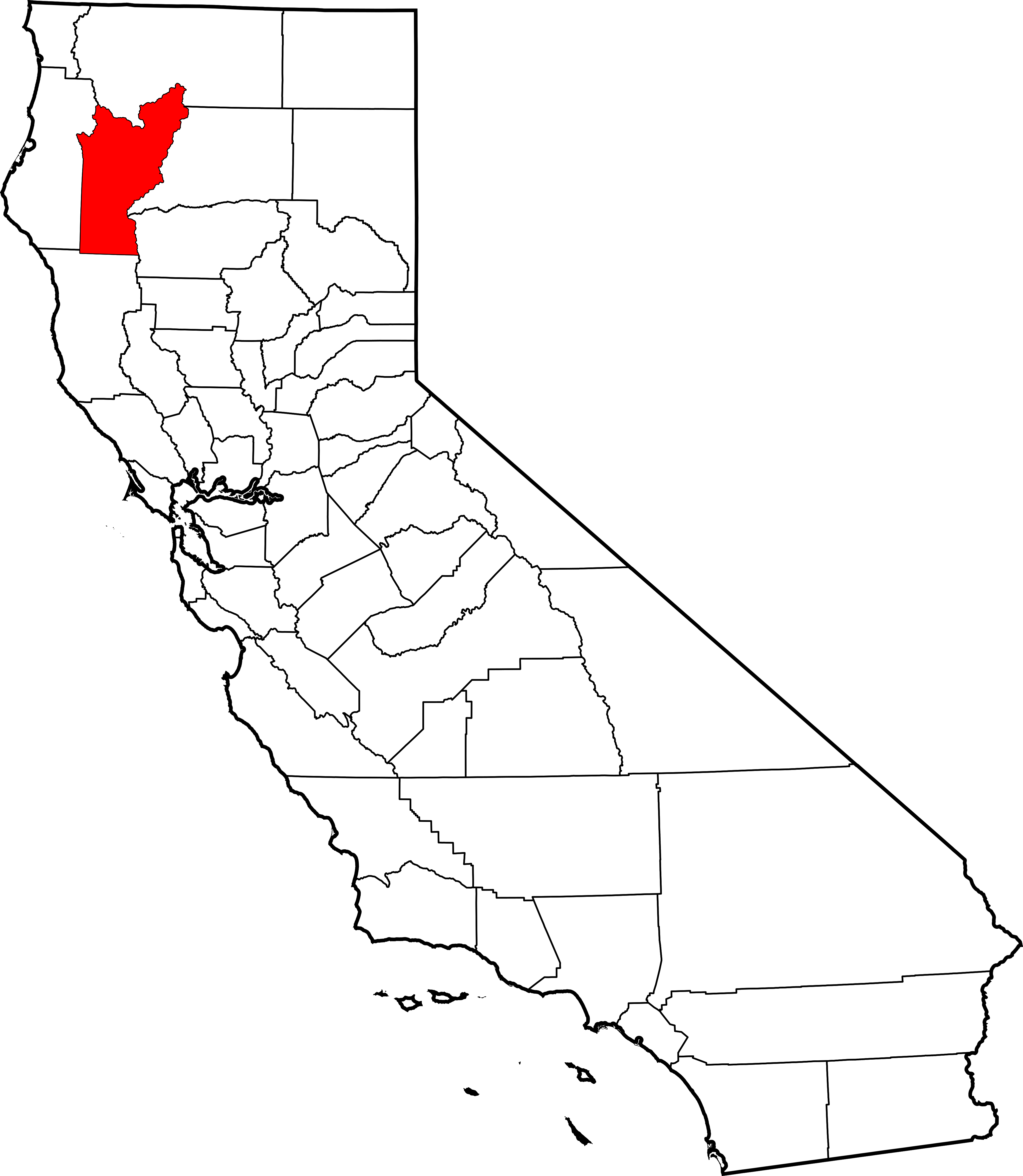
English: This is a locator map showing Trinity County in California. For more information, see Commons:United States county locator maps. |
| Date | |
| Source |
Own work: English: The maps use data from nationalatlas.gov, specifically countyp020.tar.gz on the Raw Data Download page. The maps also use state outline data from statesp020.tar.gz. The Florida maps use hydrogm020.tar.gz to display Lake Okeechobee. |
| Author | David Benbennick |
Licensing[edit]
| I, the copyright holder of this work, release this work into the public domain. This applies worldwide. In some countries this may not be legally possible; if so: I grant anyone the right to use this work for any purpose, without any conditions, unless such conditions are required by law. |
File history
Click on a date/time to view the file as it appeared at that time.
| Date/Time | Thumbnail | Dimensions | User | Comment | |
|---|---|---|---|---|---|
| current | 10:28, 12 February 2006 | | 9,164 × 10,536 (229 KB) | David Benbennick (talk | contribs) | {{subst:User:Dbenbenn/clm|county=Trinity County|state=California}} |
You cannot overwrite this file.
File usage on Commons
The following 7 pages use this file:
- Category:Geography of Trinity County, California
- Category:History of Trinity County, California
- Category:Maps of Trinity County, California
- Category:People of Trinity County, California
- Category:Roads in Trinity County, California
- Category:Trinity County, California
- Category:Wildfires in Trinity County, California
File usage on other wikis
The following other wikis use this file:
- Usage on ar.wikipedia.org
- Usage on az.wikipedia.org
- Usage on ban.wikipedia.org
- Usage on bg.wikipedia.org
- Usage on bpy.wikipedia.org
- Usage on ca.wikipedia.org
- Usage on ceb.wikipedia.org
- Usage on ce.wikipedia.org
- Usage on cs.wikipedia.org
- Usage on cy.wikipedia.org
- Usage on da.wikipedia.org
- Usage on de.wikipedia.org
- Usage on en.wikipedia.org
- List of counties in California
- Trinity County, California
- Hayfork, California
- Lewiston, California
- Weaverville, California
- Big Bar, Trinity County, California
- Douglas City, California
- Round Valley Indian Tribes of the Round Valley Reservation
- Hyampom, California
- Template:Trinity County, California
- Denny, California
- Trinity Center, California
- Burnt Ranch, California
- Junction City, California
- Salyer, California
- Coffee Creek, California
- Mad River, California
- Category:Wikipedia requested photographs in Trinity County, California
- National Register of Historic Places listings in Trinity County, California
- Ruth, California
- Peanut, California
- User:Nyttend/County templates/CA/3
- Zenia, California
- Helena, California
- Category:Populated places in Trinity County, California
- Trinity Village, California
- Minersville, California
- Forest Glen, California
- Del Loma, California
- Hawkins Bar, California
- Deadwood, Trinity County, California
- Dedrick, California
- User:Darkest tree/sandbox/List of counties in California
View more global usage of this file.