File:Map of California highlighting Santa Clara County.svg
Jump to navigation
Jump to search

Size of this PNG preview of this SVG file: 523 × 599 pixels. Other resolutions: 209 × 240 pixels | 419 × 480 pixels | 670 × 768 pixels | 894 × 1,024 pixels | 1,787 × 2,048 pixels | 1,022 × 1,171 pixels.
Original file (SVG file, nominally 1,022 × 1,171 pixels, file size: 506 KB)
Captions
Captions
Add a one-line explanation of what this file represents
Summary[edit]
| Description |
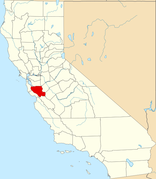
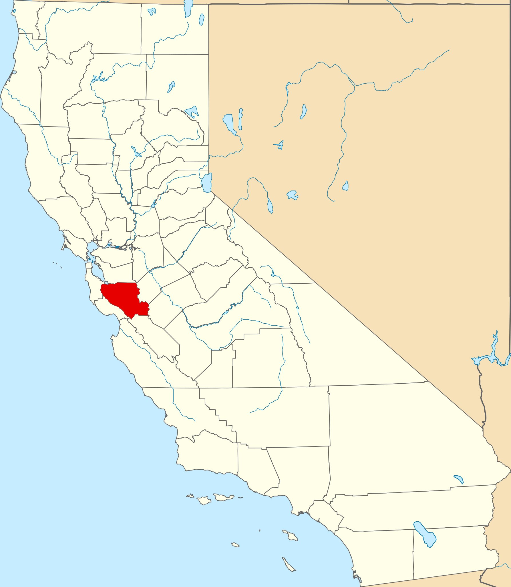
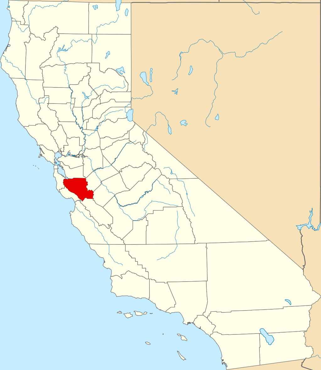
English: This is a locator map showing Santa Clara County in California. For more information, see Commons:United States county locator maps. |
| Date | |
| Source |
Own work: English: The maps use data from nationalatlas.gov, specifically countyp020.tar.gz on the Raw Data Download page. The maps also use state outline data from statesp020.tar.gz. The Florida maps use hydrogm020.tar.gz to display Lake Okeechobee. |
| Author | David Benbennick |
Licensing[edit]
| I, the copyright holder of this work, release this work into the public domain. This applies worldwide. In some countries this may not be legally possible; if so: I grant anyone the right to use this work for any purpose, without any conditions, unless such conditions are required by law. |
File history
Click on a date/time to view the file as it appeared at that time.
| Date/Time | Thumbnail | Dimensions | User | Comment | |
|---|---|---|---|---|---|
| current | 16:07, 26 November 2016 | | 1,022 × 1,171 (506 KB) | Spartan7W (talk | contribs) | Update HQ map |
| 10:27, 12 February 2006 |  | 9,164 × 10,536 (229 KB) | David Benbennick (talk | contribs) | {{subst:User:Dbenbenn/clm|county=Santa Clara County|state=California}} |
You cannot overwrite this file.
File usage on Commons
The following 13 pages use this file:
- Category:Births in Santa Clara County, California
- Category:Cemeteries in Santa Clara County, California
- Category:Deaths in Santa Clara County, California
- Category:Education in Santa Clara County, California
- Category:Geography of Santa Clara County, California
- Category:Maps of Santa Clara County, California
- Category:Nature of Santa Clara County, California
- Category:People of Santa Clara County, California
- Category:Rivers of Santa Clara County, California
- Category:Roads in Santa Clara County, California
- Category:Santa Clara County, California
- Category:Visitor attractions in Santa Clara County, California
- Category:Wildfires in Santa Clara County, California
File usage on other wikis
The following other wikis use this file:
- Usage on ar.wikipedia.org
- سان خوسيه (كاليفورنيا)
- مقاطعة سانتا كلارا (كاليفورنيا)
- ستانفورد (كاليفورنيا)
- سانيفال (كاليفورنيا)
- سانتا كلارا (كاليفورنيا)
- كامببيل (كاليفورنيا)
- كوبيرتينو (كاليفورنيا)
- غيلروي (كاليفورنيا)
- لوس ألتوس (كاليفورنيا)
- لوس ألتوس هيلس (كاليفورنيا)
- لوس غاتوس (كاليفورنيا)
- ميلبيتاس (كاليفورنيا)
- مونت سيرينو (كاليفورنيا)
- مورغان هيل
- ماونتن فيو (كاليفورنيا)
- بالو ألتو (كاليفورنيا)
- ساراتوغا (كاليفورنيا)
- قالب:مقاطعة سانتا كلارا (كاليفورنيا)
- Usage on arz.wikipedia.org
- Usage on ast.wikipedia.org
- Usage on az.wikipedia.org
- Usage on ban.wikipedia.org
- Usage on be.wikipedia.org
- Usage on bg.wikipedia.org
- Usage on bpy.wikipedia.org
- Usage on ca.wikipedia.org
- Usage on ceb.wikipedia.org
- Usage on ce.wikipedia.org
- Usage on cs.wikipedia.org
- Usage on cy.wikipedia.org
- Usage on da.wikipedia.org
- Usage on de.wikipedia.org
- Palo Alto
- San José (Kalifornien)
- Campbell (Kalifornien)
- Cupertino
- Gilroy
- Los Altos (Kalifornien)
- Los Altos Hills
- Los Gatos
- Milpitas
- Morgan Hill
- Santa Clara (Kalifornien)
- Stanford (Kalifornien)
- Sunnyvale (Kalifornien)
- Santa Clara County
- Saratoga (Kalifornien)
- Mountain View (Santa Clara County, Kalifornien)
- Liste der Countys in Kalifornien
View more global usage of this file.