File:Map of Alabama highlighting Jefferson County.svg
Jump to navigation
Jump to search

Size of this PNG preview of this SVG file: 379 × 600 pixels. Other resolutions: 152 × 240 pixels | 303 × 480 pixels | 485 × 768 pixels | 647 × 1,024 pixels | 1,294 × 2,048 pixels | 3,379 × 5,346 pixels.
Original file (SVG file, nominally 3,379 × 5,346 pixels, file size: 94 KB)
Captions
Captions
Add a one-line explanation of what this file represents
Summary[edit]
| Description |
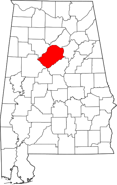
English: This is a locator map showing Jefferson County in Alabama. For more information, see Commons:United States county locator maps. |
| Date | |
| Source |
Own work: English: The maps use data from nationalatlas.gov, specifically countyp020.tar.gz on the Raw Data Download page. The maps also use state outline data from statesp020.tar.gz. The Florida maps use hydrogm020.tar.gz to display Lake Okeechobee. |
| Author | David Benbennick |
Licensing[edit]
| I, the copyright holder of this work, release this work into the public domain. This applies worldwide. In some countries this may not be legally possible; if so: I grant anyone the right to use this work for any purpose, without any conditions, unless such conditions are required by law. |
File history
Click on a date/time to view the file as it appeared at that time.
| Date/Time | Thumbnail | Dimensions | User | Comment | |
|---|---|---|---|---|---|
| current | 09:52, 12 February 2006 | | 3,379 × 5,346 (94 KB) | David Benbennick (talk | contribs) | {{subst:User:Dbenbenn/clm|county=Jefferson County|state=Alabama}} |
You cannot overwrite this file.
File usage on Commons
The following 10 pages use this file:
- Category:Births in Jefferson County, Alabama
- Category:Deaths in Jefferson County, Alabama
- Category:Geography of Jefferson County, Alabama
- Category:Jefferson County, Alabama
- Category:Maps of Jefferson County, Alabama
- Category:National Register of Historic Places in Jefferson County, Alabama
- Category:People of Jefferson County, Alabama
- Category:Populated places in Jefferson County, Alabama
- Category:Towns in Jefferson County, Alabama
- Category:Views of Jefferson County, Alabama
File usage on other wikis
The following other wikis use this file:
- Usage on ar.wikipedia.org
- Usage on arz.wikipedia.org
- Usage on az.wikipedia.org
- Usage on bg.wikipedia.org
- Usage on bpy.wikipedia.org
- Usage on bs.wikipedia.org
- Usage on ca.wikipedia.org
- Birmingham (Alabama)
- Comtat de Jefferson (Alabama)
- Adamsville (Alabama)
- Bessemer (Alabama)
- Brighton (Alabama)
- Brookside (Alabama)
- Center Point (Alabama)
- Chalkville
- Clay (Alabama)
- Concord (Alabama)
- County Line
- Edgewater (Alabama)
- Fairfield (Alabama)
- Forestdale (Alabama)
- Fultondale
- Gardendale
- Grayson Valley
- Graysville (Alabama)
- Helena (Alabama)
- Homewood (Alabama)
- Hoover (Alabama)
- Hueytown
- Irondale (Alabama)
- Kimberly (Alabama)
- Leeds (Alabama)
- Lipscomb (Alabama)
- Maytown (Alabama)
- McDonald Chapel
- Midfield (Alabama)
- Morris (Alabama)
- Mount Olive (Alabama)
- Mountain Brook (Alabama)
- Mulga (Alabama)
- North Johns
- Pinson (Alabama)
- Pleasant Grove (Alabama)
- Rock Creek (Alabama)
- Sumiton
- Sylvan Springs
- Tarrant (Alabama)
- Trafford (Alabama)
View more global usage of this file.