File:Map castel goffredo.png
Jump to navigation
Jump to search
No higher resolution available.
Map_castel_goffredo.png (519 × 388 pixels, file size: 132 KB, MIME type: image/png)
Captions
Captions
Add a one-line explanation of what this file represents
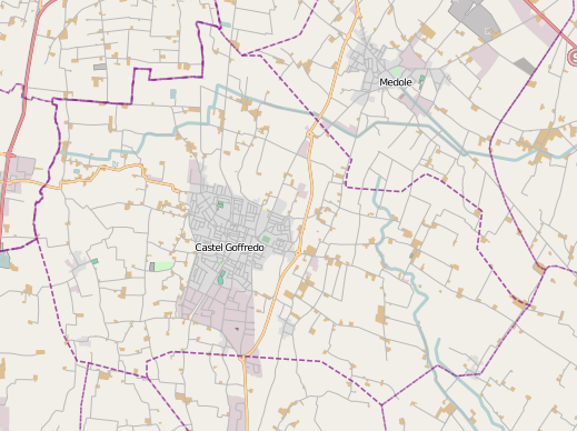
| Description | Territorio del comune di Castel Goffredo |
| Date | |
| Source | http://www.openstreetmap.org |
| Author | Massimo Telò |
| Permission (Reusing this file) |
This file is licensed under the Creative Commons Attribution-Share Alike 2.0 Generic license.
|
Questa mappa è stata creata con dati raccolti dal progetto OpenStreetMap. / This map was created from OpenStreetMap project data collected.
File history
Click on a date/time to view the file as it appeared at that time.
| Date/Time | Thumbnail | Dimensions | User | Comment | |
|---|---|---|---|---|---|
| current | 10:17, 15 October 2012 | | 519 × 388 (132 KB) | Teseo (talk | contribs) | {{Information |Description=Territorio del comune di Castel Goffredo |Source=http://www.openstreetmap.org |Date=2012-10-15 |Author=Massimo Telò |Permission={{cc-by-sa-2.0}} |other_versions= }} Questa mappa è stata creata con dati raccolti dal progetto... |
You cannot overwrite this file.
File usage on Commons
There are no pages that use this file.
File usage on other wikis
The following other wikis use this file:
- Usage on it.wikipedia.org
- Usage on it.wikivoyage.org