File:Map Situation of Chicago Airports.svg
Jump to navigation
Jump to search

Size of this PNG preview of this SVG file: 745 × 599 pixels. Other resolutions: 298 × 240 pixels | 597 × 480 pixels | 955 × 768 pixels | 1,273 × 1,024 pixels | 2,545 × 2,048 pixels | 1,239 × 997 pixels.
Original file (SVG file, nominally 1,239 × 997 pixels, file size: 3.93 MB)
Captions
Captions
Add a one-line explanation of what this file represents
Summary[edit]
| Object location | | View this and other nearby images on: OpenStreetMap |
|---|
| Description |
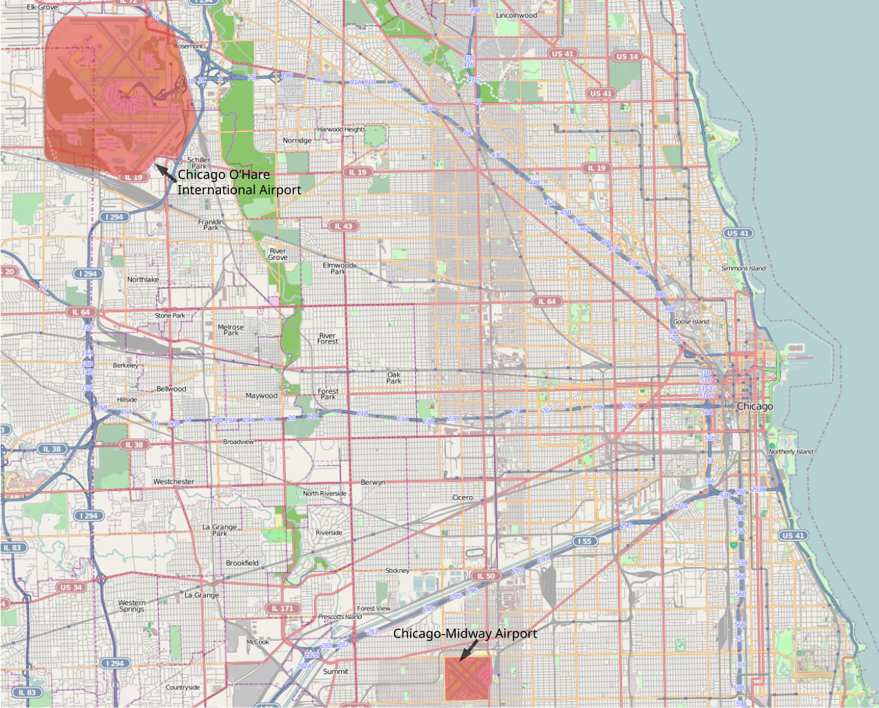
English: Situation of Chicago Airports.
Deutsch: Lageplan der Flughäfen Chicagos. |
| Date | |
| Source | Own work |
| Author | LezFraniak |
This map was created from OpenStreetMap.org project data. This map may be incorrect or contain errors.
Licensing[edit]
I, the copyright holder of this work, hereby publish it under the following license:
This file is licensed under the Creative Commons Attribution-Share Alike 3.0 Unported license.
- You are free:
- to share – to copy, distribute and transmit the work
- to remix – to adapt the work
- Under the following conditions:
- attribution – You must give appropriate credit, provide a link to the license, and indicate if changes were made. You may do so in any reasonable manner, but not in any way that suggests the licensor endorses you or your use.
- share alike – If you remix, transform, or build upon the material, you must distribute your contributions under the same or compatible license as the original.
File history
Click on a date/time to view the file as it appeared at that time.
| Date/Time | Thumbnail | Dimensions | User | Comment | |
|---|---|---|---|---|---|
| current | 17:21, 13 May 2012 | | 1,239 × 997 (3.93 MB) | Rafael Zink (talk | contribs) | Reverted to version as of 17:49, 9 May 2012. Other files are damaged. |
| 21:29, 12 May 2012 |  | 1,239 × 997 (29 KB) | Rafael Zink (talk | contribs) | previous upload doesn't work. Doesn't show Meigs Field. hope it will work now. | |
| 21:20, 12 May 2012 |  | 1,239 × 997 (29 KB) | Rafael Zink (talk | contribs) | Meigs Field Airport (closed 2003) added | |
| 17:49, 9 May 2012 |  | 1,239 × 997 (3.93 MB) | Rafael Zink (talk | contribs) |
You cannot overwrite this file.
File usage on Commons
There are no pages that use this file.
File usage on other wikis
The following other wikis use this file:
- Usage on de.wikipedia.org