File:Map Sea of Åland.png
Jump to navigation
Jump to search
Size of this preview: 800 × 391 pixels. Other resolutions: 320 × 157 pixels | 640 × 313 pixels | 1,216 × 595 pixels.
Original file (1,216 × 595 pixels, file size: 815 KB, MIME type: image/png)
Captions
Captions
Add a one-line explanation of what this file represents
Summary[edit]
| Description |
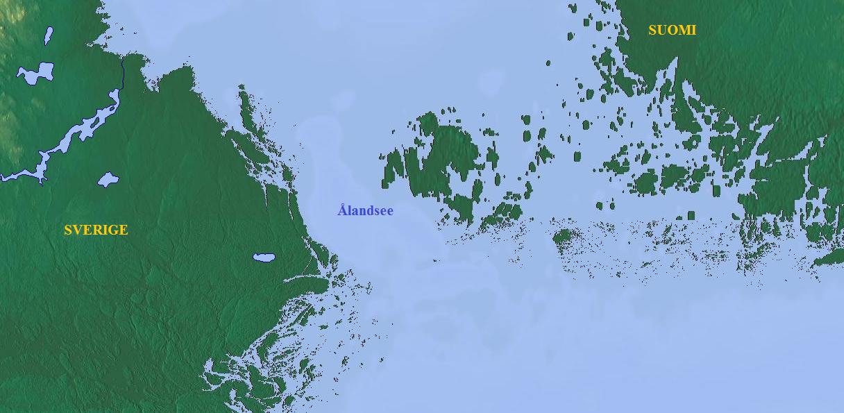
English: Map of Sea of Åland; physical
Deutsch: Karte der Ålandsee; physisch |
| Date | |
| Source | Map_Sea_of_Åland |
| Author | http://www.maps-for-free.com/ |
Licensing[edit]
This file is licensed under the Creative Commons Attribution 3.0 Unported license.
- You are free:
- to share – to copy, distribute and transmit the work
- to remix – to adapt the work
- Under the following conditions:
- attribution – You must give appropriate credit, provide a link to the license, and indicate if changes were made. You may do so in any reasonable manner, but not in any way that suggests the licensor endorses you or your use.
File history
Click on a date/time to view the file as it appeared at that time.
| Date/Time | Thumbnail | Dimensions | User | Comment | |
|---|---|---|---|---|---|
| current | 08:38, 20 May 2017 | | 1,216 × 595 (815 KB) | Acf (talk | contribs) | {{Information |Description ={{en|1=Map of Sea of Åland; physical}} {{de|1=Karte der Ålandsee; physisch}} |Source =Map_Sea_of_Åland |Author =http://www.maps-for-free.com/ |Date =2017-05-20 |Permission = |other_version... |
You cannot overwrite this file.
File usage on Commons
There are no pages that use this file.
File usage on other wikis
The following other wikis use this file:
- Usage on de.wiktionary.org