File:Map Northern Mariana Islands closer.gif
Jump to navigation
Jump to search
No higher resolution available.
Map_Northern_Mariana_Islands_closer.gif (435 × 580 pixels, file size: 34 KB, MIME type: image/gif)
Captions
Captions
Add a one-line explanation of what this file represents
Summary[edit]
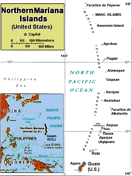
| Description | Enlarged area map of the Northern Mariana Islands. |
| Date | |
| Source |
Derived by re-labeling and narrowing map Image:Casta Marianas.jpg from maps at http://www.lib.utexas.edu/maps/ Public Domain (see http://navalhistory.flixco.info/H/118421x19817/8330/a0.htm) |
| Author | User:Wikid77, from 2005 map of User:Bradipus |
| Other versions | Wider map (2x wider) with tiny lettering: Image:Casta Marianas.jpg. |
Licensing[edit]
| I, the copyright holder of this work, release this work into the public domain. This applies worldwide. In some countries this may not be legally possible; if so: I grant anyone the right to use this work for any purpose, without any conditions, unless such conditions are required by law. |
File history
Click on a date/time to view the file as it appeared at that time.
| Date/Time | Thumbnail | Dimensions | User | Comment | |
|---|---|---|---|---|---|
| current | 15:52, 6 March 2008 | | 435 × 580 (34 KB) | Wikid77 (talk | contribs) | labeled "(Agiguan)" and clarified title-box scale, reducing data 1400b; aligned labels; clarified sea color; etc. |
| 14:43, 6 March 2008 |  | 435 × 580 (35 KB) | Wikid77 (talk | contribs) | initial upload |
You cannot overwrite this file.
File usage on Commons
The following page uses this file:
File usage on other wikis
The following other wikis use this file:
- Usage on azb.wikipedia.org
- Usage on br.wikipedia.org
- Usage on da.wikipedia.org
- Usage on fiu-vro.wikipedia.org
- Usage on he.wikipedia.org
- Usage on la.wikipedia.org
- Usage on ta.wikipedia.org