File:Map-society-islands-hogg-1784.jpg
Jump to navigation
Jump to search

Size of this preview: 800 × 501 pixels. Other resolutions: 320 × 200 pixels | 640 × 401 pixels | 1,024 × 642 pixels | 1,280 × 802 pixels | 2,560 × 1,604 pixels | 4,238 × 2,655 pixels.
Original file (4,238 × 2,655 pixels, file size: 9.57 MB, MIME type: image/jpeg)
Captions
Captions
Add a one-line explanation of what this file represents
Summary[edit]
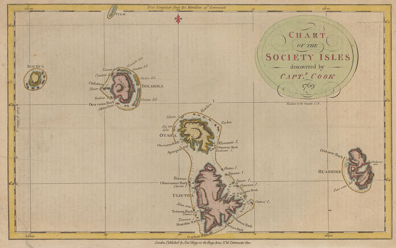
| Description |
English: historic map of the western Society Islands (Leeward Islands = Îles sous le Vent), French Polynesia, Eastern Pacific Ocean, after James Cook's first voyage |
| Date | |
| Source | http://libweb5.princeton.edu/visual_materials/maps/websites/pacific/cook1/cook1.html |
| Author | Alexander Hogg |
| Other versions |
|

.jpg)

Licensing[edit]
|
This work is in the public domain in its country of origin and other countries and areas where the copyright term is the author's life plus 100 years or fewer. | |
| This file has been identified as being free of known restrictions under copyright law, including all related and neighboring rights. | |
File history
Click on a date/time to view the file as it appeared at that time.
| Date/Time | Thumbnail | Dimensions | User | Comment | |
|---|---|---|---|---|---|
| current | 13:47, 24 September 2010 | | 4,238 × 2,655 (9.57 MB) | Ratzer (talk | contribs) | {{Information |Description={{en|1=historic map of the western Society Islands (Leeward Islands = Îles sous le Vent), French Polynesia, Eastern Pacific Ocean, after James Cook's first voyage}} |Source=http://libweb5.princeton.edu/visual_materials/maps/web |
You cannot overwrite this file.
File usage on Commons
The following 3 pages use this file:
File usage on other wikis
The following other wikis use this file:
- Usage on als.wikipedia.org
- Usage on de.wikipedia.org
- Usage on frr.wikipedia.org