File:Maginnis Aqueduct W end.JPG
Jump to navigation
Jump to search
Size of this preview: 800 × 590 pixels. Other resolutions: 320 × 236 pixels | 640 × 472 pixels | 1,024 × 755 pixels | 1,280 × 944 pixels | 1,809 × 1,334 pixels.
Original file (1,809 × 1,334 pixels, file size: 1.09 MB, MIME type: image/jpeg)
Captions
Captions
Add a one-line explanation of what this file represents
Summary[edit]
| Description |
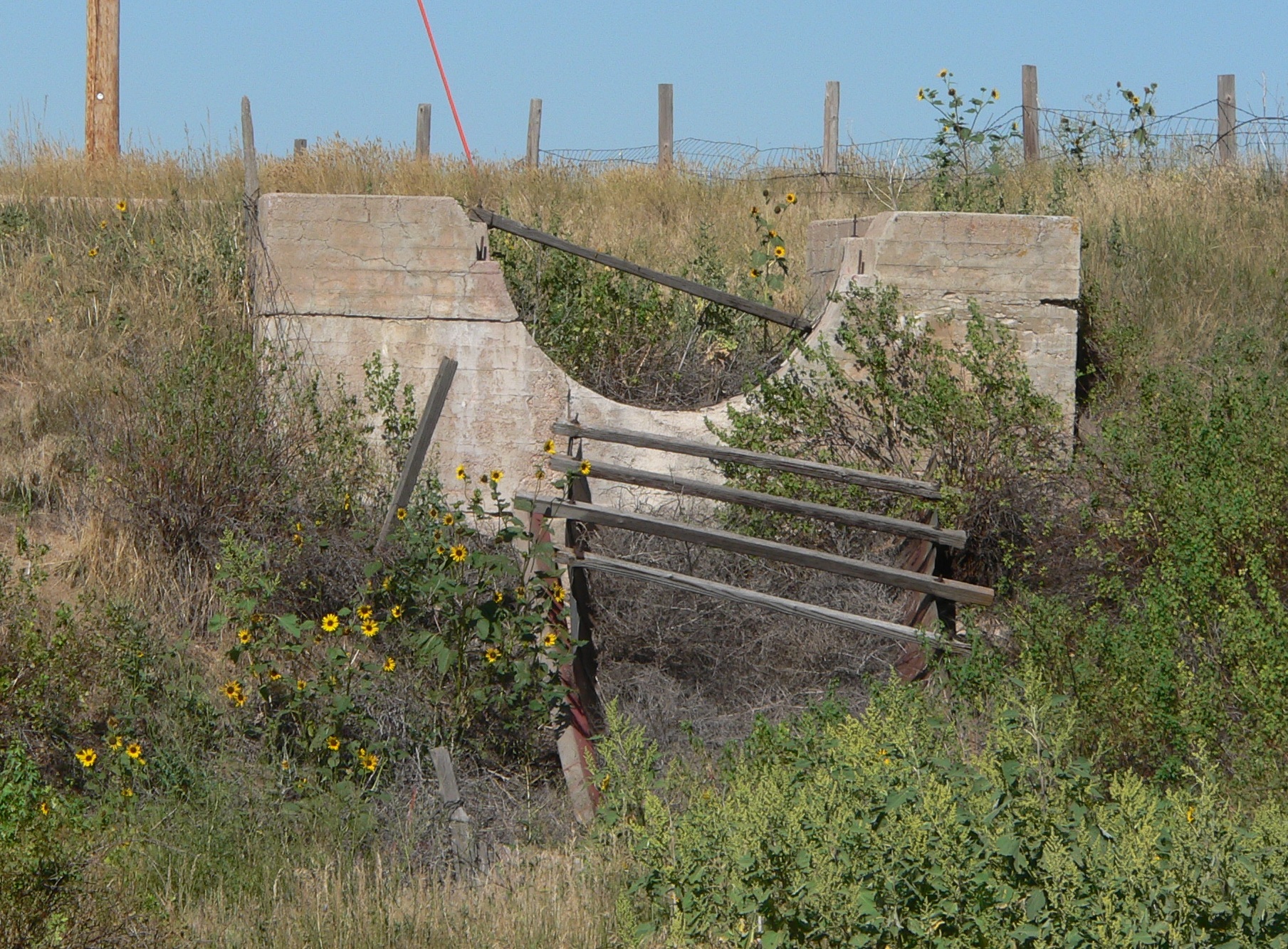
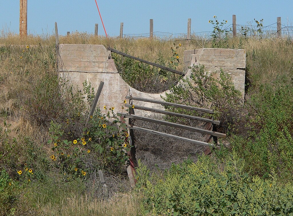
English: West end of Maginnis Irrigation Aqueduct, located on south side of U.S. Highway 30 just west of County Road 29 in Kimball County, Nebraska; seen from below, looking eastward. The aqueduct was built in 1912, and is listed in the National Register of Historic Places. The east half of the aqueduct is more or less intact; the trestle from the west half is missing, and the flume is in pieces downstream in the swale crossed by the aqueduct. |
| Date | |
| Source | Own work |
| Author | Ammodramus |
Licensing[edit]
| I, the copyright holder of this work, release this work into the public domain. This applies worldwide. In some countries this may not be legally possible; if so: I grant anyone the right to use this work for any purpose, without any conditions, unless such conditions are required by law. |
File history
Click on a date/time to view the file as it appeared at that time.
| Date/Time | Thumbnail | Dimensions | User | Comment | |
|---|---|---|---|---|---|
| current | 16:30, 31 August 2010 | | 1,809 × 1,334 (1.09 MB) | Ammodramus (talk | contribs) | {{Information |Description={{en|1=West end of {{w|Maginnis Irrigation Aqueduct}}, located on south side of {{w|U.S. Highway 30}} just west of County Road 29 in {{w|Kimball County, Nebraska}}; seen from below, looking eastward. The aqueduct was built in 1 |
You cannot overwrite this file.
File usage on Commons
There are no pages that use this file.