File:MY FIRST TIME TO VISIT RUSHBROOKE (SINCE APRIL 2006)-217720.jpg
Original file (6,192 × 4,128 pixels, file size: 17.32 MB, MIME type: image/jpeg)
Captions
Captions
Summary
[edit]-217720.jpg&action=edit§ion=1)
| Description |
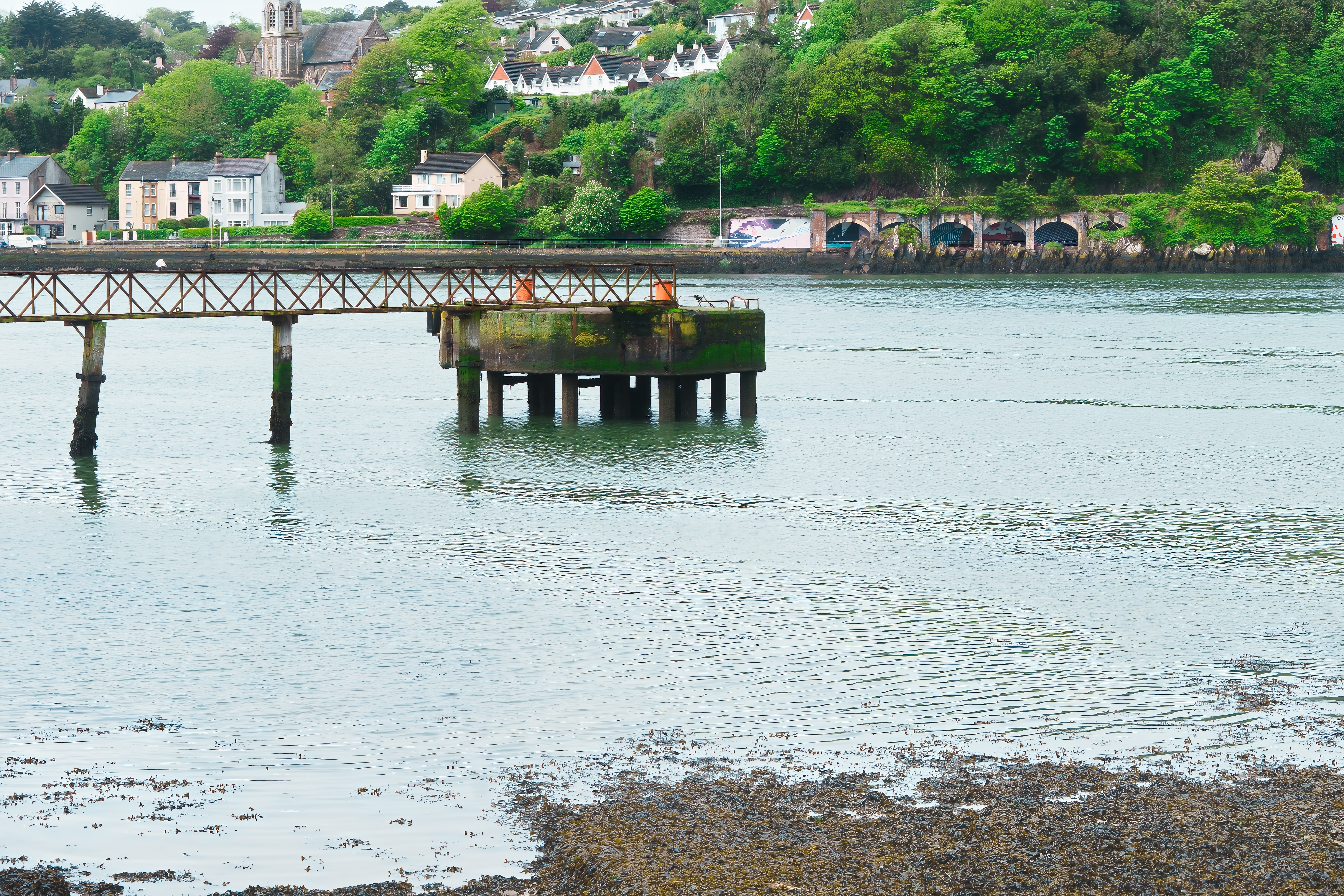
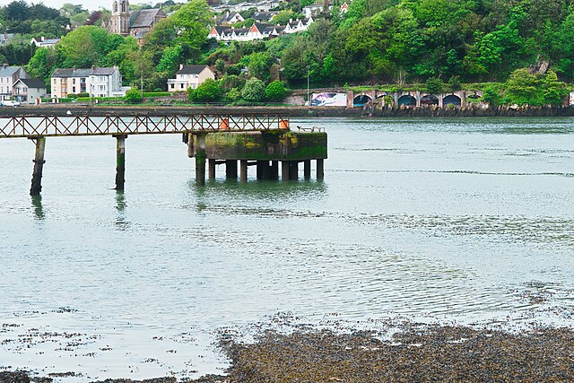
English: Rushbrooke has a railway station on the main Cork to Cobh line, located close to the Cork Dockyard Commercial Development, Rushbrooke railway station, which opened on 10 March 1862 and closed for goods traffic on 2 December 1974.
Trains, Railway, Train station, Cork to Cobh line, Public Transport, Cork, Ireland, Rushbrooke, William Murphy, Infomatique, Fotonique, Sony, FX30, MY FIRST TIME TO VISIT RUSHBROOKE [SINCE APRIL 2006] I purchased my first DSLR, a Sigma SD9, for Christmas 2005. For various technical reasons I did not get to try the camera until 2006 when I visited Cork for a week in April. I booked four days in Cork city and three days in Cobh [Rushbrooke]. The trip was a total disaster because it rained non-stop for the duration of my trip. I actually gave up and returned home a few days early because of the weather and also because the camera failed to work most of the time. Even when the camera worked the images had lots of noise and were unusable. When I arrived [April 2006] at Rushbrooke station I could not exit the station as all the exits were locked and I had to wait for an hour for the next train to arrive and this took me to Cobh. I then had to walk back from Cobh to the Rushbrooke House Hotel … as you can imagine I was furious. When I checked in the receptionist told that the kitchen was closed for the day. It was many years before I returned to Cork and this week was my first time to revisit Rushbrooke [and of course it rained]. After my trip in 2006 I discovered that reviewers and users reported good results in good lighting, but poorer ones in low light using either high ISO sensitivity or longer exposures. My later experience was that the camera produced excellent results at ISO100 on sunny days so in effect it was unusable on a typical day in Ireland. This year I decided to visit every individual train station on the Cork to Cobh line but shortly after arriving in Rushbrook it began to rain and it was really heavy. I eventually abandoned my plan to visit and photograph all stations and I also dropped my plan to visit Midleton. However, I hope to return to Cork in August. The area is named after Frederica Harriet Rushbrooke and her son and daughter who were granted lands under the 'Midleton Act' (1850). This followed the suicide of the 5th Viscount Midleton, George Alan Broderick (1806-1848), who died by inhaling charcoal on 1 November 1848. Succession to the titles and estate was court challenged and ultimately settled by Private Act of the House of Lords. Land in Surrey, England and Ireland were settled on the Rushbrookes from the estates of Earl Broderick/Viscount Midleton,[citation needed] who became known as the 'most wretched man in the world' by his aristocratic peers in England. Much disapproved of was his association with Augustus Welby Northmore Pugin, the renowned Catholic architect and father of E W Pugin who later designed Cobh Cathedral. Even more disapproved of was his unorthodox relationships. Rushbrooke contains a number of Victorian era houses, while several newer housing estates have been built in the Rushbrooke area in more modern times. Located on the shoreline of Cork harbour, Rushbrooke has a long tradition of ship and boat-building. The docks at Rushbrooke were founded by Joseph Wheeler and became the home of the former Dutch-owned Verolme Cork Dockyard which once employed over 1,100 people in shipbuilding. Many large ships were built and launched from Verolme. This included a number of vessels, such as LÉ Eithne, which were built for the Irish Naval Service which has its headquarters nearby. The dockyard closed in the mid 1980s with major job losses, and was subsequently redeveloped into a commercial and small industries park - while Cork Dockyard Holdings Ltd continues with ship and boat repair. |
| Date | |
| Source | https://www.flickr.com/photos/infomatique/52910505664/ |
| Author | William Murphy |
| Camera location | | View this and other nearby images on: OpenStreetMap |
|---|
-217720.jpg¶ms=051.851439_N_-008.325917_E_globe:Earth_type:camera__&language=en)
Licensing
[edit]-217720.jpg&action=edit§ion=2)
- You are free:
- to share – to copy, distribute and transmit the work
- to remix – to adapt the work
- Under the following conditions:
- attribution – You must give appropriate credit, provide a link to the license, and indicate if changes were made. You may do so in any reasonable manner, but not in any way that suggests the licensor endorses you or your use.
- share alike – If you remix, transform, or build upon the material, you must distribute your contributions under the same or compatible license as the original.
| This image was originally posted to Flickr by infomatique at https://flickr.com/photos/80824546@N00/52910505664. It was reviewed on 21 May 2023 by FlickreviewR 2 and was confirmed to be licensed under the terms of the cc-by-sa-2.0. |
File history
Click on a date/time to view the file as it appeared at that time.
| Date/Time | Thumbnail | Dimensions | User | Comment | |
|---|---|---|---|---|---|
| current | 23:05, 21 May 2023 | | 6,192 × 4,128 (17.32 MB) | DeirgeDel (talk | contribs) | Uploaded a work by William Murphy from https://www.flickr.com/photos/infomatique/52910505664/ with UploadWizard |
You cannot overwrite this file.
File usage on Commons
There are no pages that use this file.
-217720.jpg&oldid=766869072)