File:M-51 map.svg
Jump to navigation
Jump to search

Size of this PNG preview of this SVG file: 800 × 474 pixels. Other resolutions: 320 × 190 pixels | 640 × 380 pixels | 1,024 × 607 pixels | 1,280 × 759 pixels | 2,560 × 1,518 pixels | 1,450 × 860 pixels.
Original file (SVG file, nominally 1,450 × 860 pixels, file size: 1.33 MB)
Captions
Captions
Add a one-line explanation of what this file represents
Summary[edit]
| Description | |
| Date | |
| Source | Own work |
| Author | TwinsMetsFan |
Licensing[edit]
| I, the copyright holder of this work, release this work into the public domain. This applies worldwide. In some countries this may not be legally possible; if so: I grant anyone the right to use this work for any purpose, without any conditions, unless such conditions are required by law. |
File history
Click on a date/time to view the file as it appeared at that time.
| Date/Time | Thumbnail | Dimensions | User | Comment | |
|---|---|---|---|---|---|
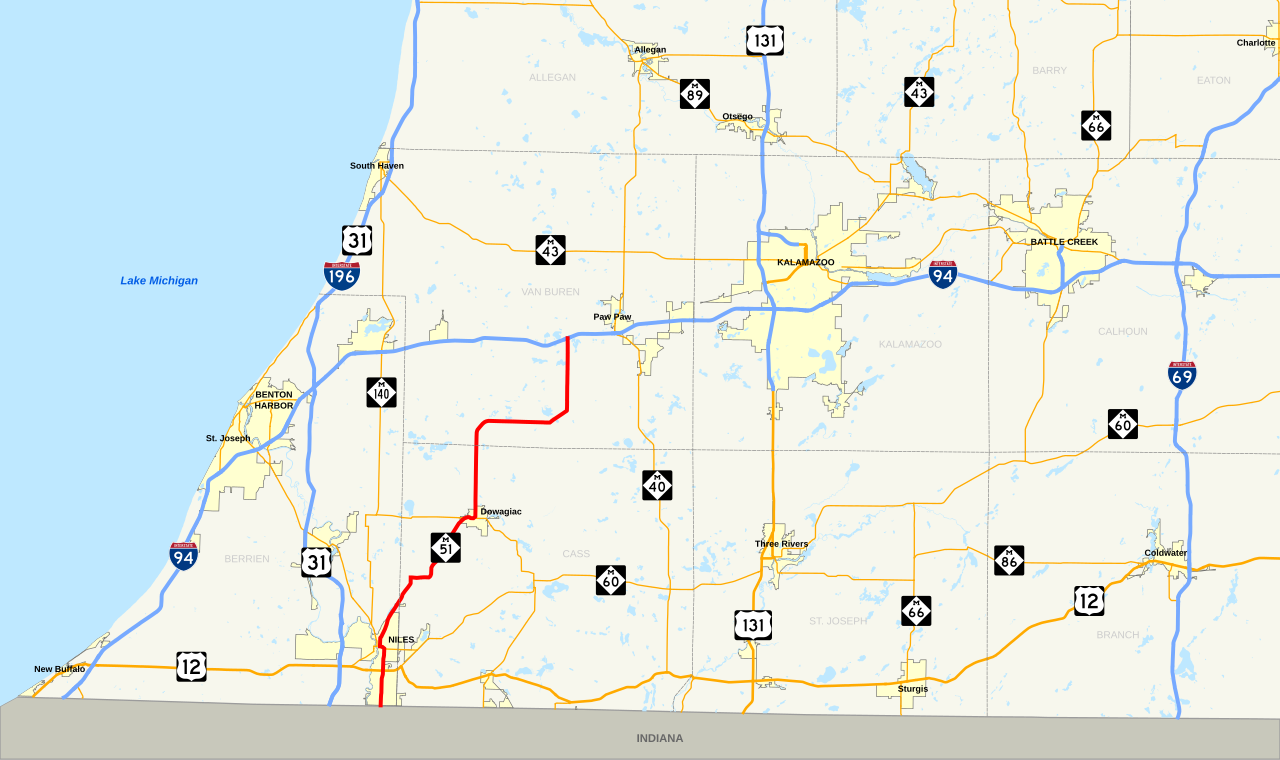
| current | 10:20, 2 May 2010 | | 1,450 × 860 (1.33 MB) | TwinsMetsFan (talk | contribs) | {{Information |Description={{en|1=Map of w:M-51 (Michigan highway). Made using Quantum GIS, GIS data from the United States Census Bureau ([http://arcdata.esri.com/data/tiger2000/tiger_download.cfm TIGER]) and the Federal Highway Administration ([htt |
You cannot overwrite this file.
File usage on Commons
There are no pages that use this file.
File usage on other wikis
The following other wikis use this file:
- Usage on www.wikidata.org