File:Lubaczów (gmina wiejska) location map.png

Original file (2,376 × 1,666 pixels, file size: 846 KB, MIME type: image/png)
Captions
Captions
Summary[edit]
_location_map.png&action=edit§ion=1)
| Description |
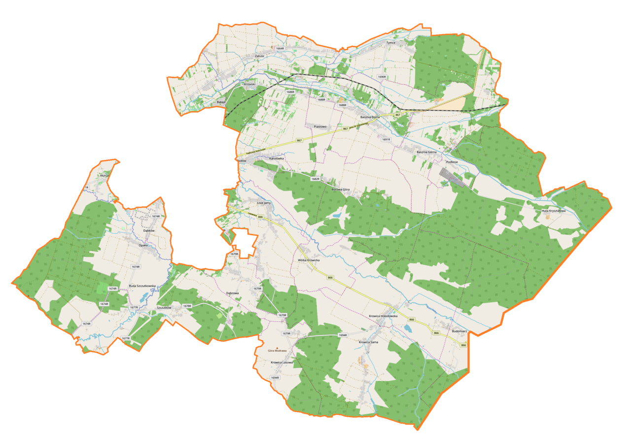
English: Location map |
| Date | |
| Source | Own work |
| Author | Smat |
| Description |
Polski: Mapa gminy wiejskiej Lubaczów, Polska
English: Map of Lubaczów (gmina wiejska), Poland |
|||||||||
| Date | ||||||||||
| Source | You may find a page on the OpenStreetMap wiki page for Lubaczów (gmina wiejska) | |||||||||
| Creator |
OpenStreetMap contributors OpenStreetMap contributors |
|||||||||
| Permission (Reusing this file) |
OpenStreetMap data is available under the Open Database License (details). Map tiles are licensed under the Creative Commons Attribution-ShareAlike 2.0 license (CC-BY-SA 2.0).
This file is licensed under the Creative Commons Attribution-Share Alike 2.0 Generic license.
|
|||||||||
| Geotemporal data | ||||||||||
| Bounding box |
|
|||||||||
| Georeferencing | If inappropriate please set warp_status = skip to hide. | |||||||||
Licensing[edit]
_location_map.png&action=edit§ion=2)
| This work contains information from OpenStreetMap, which is made available under the Open Database License (ODbL).
The ODbL does not require any particular license for maps produced from ODbL data. Prior to 1 August 2020, map tiles produced by the OpenStreetMap Foundation were licensed under the CC-BY-SA-2.0 license. Maps produced by other people may be subject to other licences. |
File history
Click on a date/time to view the file as it appeared at that time.
| Date/Time | Thumbnail | Dimensions | User | Comment | |
|---|---|---|---|---|---|
| current | 18:37, 23 July 2018 | | 2,376 × 1,666 (846 KB) | Smat (talk | contribs) | User created page with UploadWizard |
You cannot overwrite this file.
File usage on Commons
There are no pages that use this file.
File usage on other wikis
The following other wikis use this file:
- Usage on pl.wikipedia.org
- Podlesie (powiat lubaczowski)
- Rezerwat przyrody Kamienne
- Opaka (województwo podkarpackie)
- Szczutków
- Antoniki
- Bałaje (Polska)
- Basznia Dolna
- Basznia Górna
- Budomierz
- Dąbków
- Hurcze
- Huta Kryształowa
- Krowica Hołodowska
- Krowica Lasowa
- Krowica Sama
- Lisie Jamy (województwo podkarpackie)
- Tymce
- Wólka Krowicka
- Borowa Góra (województwo podkarpackie)
- Karolówka (województwo podkarpackie)
- Młodów (województwo podkarpackie)
- Piastowo (województwo podkarpackie)
- Załuże (województwo podkarpackie)
- Dąbrowa (powiat lubaczowski)
- Mokrzyca (województwo podkarpackie)
- Basznia (przystanek kolejowy)
- Kaplisze (stacja kolejowa)
- Basznia Dolna (przystanek kolejowy)
- Cetynia (Krowica Sama)
- Przejście graniczne Budomierz-Hruszów
- Parafia św. Andrzeja Boboli w Baszni Dolnej
- Parafia Przemienienia Pańskiego w Krowicy Samej
- Parafia Matki Bożej Fatimskiej w Lisich Jamach
- Parafia św. Marii Magdaleny w Młodowie
- Parafia Opieki Matki Bożej w Załużu
- Głodówka (Krowica Hołodowska)
- Cerkiew św. Dymitra w Szczutkowie
- Cerkiew Narodzenia Najświętszej Maryi Panny w Opace
- Moduł:Mapa/dane/Lubaczów (gmina wiejska)
- Usage on pl.wikibooks.org
_location_map.png&oldid=704806585)