File:Loup River at Nebraska Hwy 39 looking DS.JPG
Jump to navigation
Jump to search

Size of this preview: 800 × 487 pixels. Other resolutions: 320 × 195 pixels | 640 × 390 pixels | 1,024 × 623 pixels | 1,280 × 779 pixels | 2,560 × 1,558 pixels.
Original file (2,560 × 1,558 pixels, file size: 1.4 MB, MIME type: image/jpeg)
Captions
Captions
Add a one-line explanation of what this file represents
Summary[edit]
| Description | |
| Date | |
| Source | Own work |
| Author | Ammodramus |
| Camera location | | View this and other nearby images on: OpenStreetMap |
|---|
Licensing[edit]
| I, the copyright holder of this work, release this work into the public domain. This applies worldwide. In some countries this may not be legally possible; if so: I grant anyone the right to use this work for any purpose, without any conditions, unless such conditions are required by law. |
File history
Click on a date/time to view the file as it appeared at that time.
| Date/Time | Thumbnail | Dimensions | User | Comment | |
|---|---|---|---|---|---|
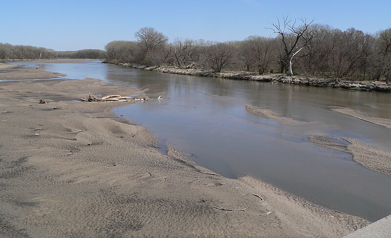
| current | 14:52, 12 April 2010 | | 2,560 × 1,558 (1.4 MB) | Ammodramus (talk | contribs) | {{Information |Description={{en|1={{w|Loup River}}, looking downstream (east) from {{w|Nebraska Highway 39}} bridge south of Genoa.}} |Source={{own}} |Author=Ammodramus |Date=2010-04-09 |Permission= |other_versio |
You cannot overwrite this file.
File usage on Commons
The following page uses this file:
File usage on other wikis
The following other wikis use this file:
- Usage on arz.wikipedia.org
- Usage on ceb.wikipedia.org
- Usage on de.wikipedia.org
- Usage on en.wikipedia.org
- Usage on es.wikipedia.org
- Usage on fr.wikipedia.org
- Usage on www.wikidata.org
- Usage on zh.wikipedia.org