File:Location map The City of Takamatsu.svg
Jump to navigation
Jump to search

Size of this PNG preview of this SVG file: 687 × 599 pixels. Other resolutions: 275 × 240 pixels | 550 × 480 pixels | 880 × 768 pixels | 1,174 × 1,024 pixels | 2,347 × 2,048 pixels | 2,674 × 2,333 pixels.
Original file (SVG file, nominally 2,674 × 2,333 pixels, file size: 9.57 MB)
Captions
Captions
Add a one-line explanation of what this file represents
Summary
[edit]
| Description |
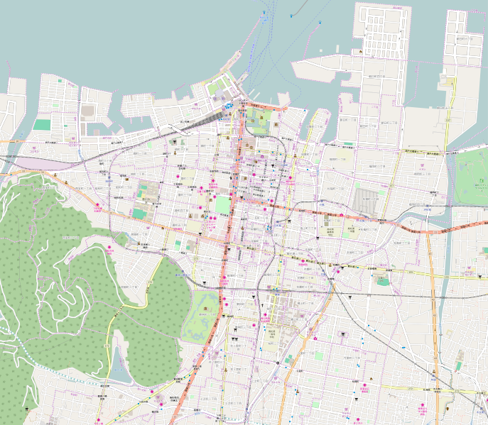
日本語: OpenStreetMap location map of The City of Takamatsu, Japan.
|
| Date | |
| Source | OpenStreetMap |
| Author | OpenStreetMap contributors |
Licensing
[edit]
| This work contains information from OpenStreetMap, which is made available under the Open Database License (ODbL).
The ODbL does not require any particular license for maps produced from ODbL data. Prior to 1 August 2020, map tiles produced by the OpenStreetMap Foundation were licensed under the CC-BY-SA-2.0 license. Maps produced by other people may be subject to other licences. |
File history
Click on a date/time to view the file as it appeared at that time.
| Date/Time | Thumbnail | Dimensions | User | Comment | |
|---|---|---|---|---|---|
| current | 16:53, 10 September 2016 | | 2,674 × 2,333 (9.57 MB) | ラハール (talk | contribs) | User created page with UploadWizard |
You cannot overwrite this file.
File usage on Commons
There are no pages that use this file.
File usage on other wikis
The following other wikis use this file:
- Usage on ja.wikipedia.org
- 高松シンボルタワー
- 鶴尾神社
- 浄願寺 (高松市)
- 高松市美術館
- せとシーパレット
- 法泉寺 (高松市)
- 天神前 (高松市)
- 瓦町 (高松市)
- 錦町 (高松市)
- 丸の内 (高松市)
- 宮脇町 (高松市)
- 中野町 (高松市)
- 内町 (高松市)
- 城東町 (高松市)
- 扇町 (高松市)
- 常磐町 (高松市)
- 観興寺
- 弘憲寺
- 石清尾八幡宮
- 大井戸水神社
- 亀井戸水神社
- 中野天満神社
- 華下天満宮
- 松島町 (高松市)
- 中新町 (高松市)
- 西宝町
- 中央町 (高松市)
- 藤塚町 (高松市)
- 旅篭町 (高松市)
- 栗林町
- 福岡町 (高松市)
- 古馬場町
- 玉藻町
- 寿町 (高松市)
- 塩上町
- 昭和町 (高松市)
- 朝日町 (高松市)
- 幸町 (高松市)
- 福田町 (高松市)
- 八坂町 (高松市)
- 西内町
- 西の丸町
- 築地町 (高松市)
- 東浜町 (高松市)
- 朝日新町
- 香川県立ミュージアム
- 通町 (高松市)
- 井口町 (高松市)
- 末広町 (高松市)
- 鶴屋町 (高松市)
View more global usage of this file.