File:Location map San Francisco Central.png
Jump to navigation
Jump to search

Size of this preview: 630 × 599 pixels. Other resolutions: 252 × 240 pixels | 505 × 480 pixels | 780 × 742 pixels.
Original file (780 × 742 pixels, file size: 664 KB, MIME type: image/png)
Captions
Captions
Add a one-line explanation of what this file represents
| Description |
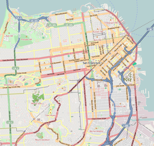
This map of San Francisco was created from OpenStreetMap project data, collected by the community. This map may be incomplete, and may contain errors. Don't rely solely on it for navigation. |
|||||||||
| Date | (see file history) | |||||||||
| Source | openstreetmap.org | |||||||||
| Creator |
OpenStreetMap contributors |
|||||||||
| Permission (Reusing this file) |
OpenStreetMap data and maps are licensed under the Creative Commons Attribution-ShareAlike 2.0 license (CC-BY-SA 2.0). This file is licensed under the Creative Commons Attribution-Share Alike 2.0 Generic license.
|
|||||||||
| Geotemporal data | ||||||||||
| Bounding box |
|
|||||||||
| Georeferencing | If inappropriate please set warp_status = skip to hide. | |||||||||
File history
Click on a date/time to view the file as it appeared at that time.
| Date/Time | Thumbnail | Dimensions | User | Comment | |
|---|---|---|---|---|---|
| current | 09:44, 14 May 2010 | | 780 × 742 (664 KB) | Dr. Blofeld~commonswiki (talk | contribs) | {{Information |Description={{en|1=dd}} |Source=d |Author=d |Date=d |Permission= |other_versions= }} |
You cannot overwrite this file.
File usage on Commons
There are no pages that use this file.
File usage on other wikis
The following other wikis use this file:
- Usage on ar.wikipedia.org
- Usage on azb.wikipedia.org
- Usage on ceb.wikipedia.org
- Usage on de.wikipedia.org
- Usage on en.wikipedia.org
- Mission San Francisco de Asís
- Transamerica Pyramid
- North Beach, San Francisco
- Noe Valley, San Francisco
- Haight-Ashbury
- The Fillmore
- Chinatown, San Francisco
- South of Market, San Francisco
- Civic Center, San Francisco
- Mission District, San Francisco
- 555 California Street
- Kezar Stadium
- Sutro Tower
- Louise M. Davies Symphony Hall
- Japantown, San Francisco
- San Francisco City Hall
- San Francisco Cable Car Museum
- Russian Hill, San Francisco
- Union Square, San Francisco
- Pier 39
- Alamo Square, San Francisco
- Fisherman's Wharf, San Francisco
- Hayes Valley, San Francisco
- Western Addition, San Francisco
- Financial District, San Francisco
- Cole Valley, San Francisco
- Fillmore District, San Francisco
- Lower Haight, San Francisco
- Eureka Valley, San Francisco
- Forest Hill, San Francisco
- Pacific Heights, San Francisco
- Grace Cathedral, San Francisco
- Golden Dragon massacre
- Preparedness Day Bombing
- International Hotel (San Francisco)
- Mission Bay, San Francisco
- Fort Mason
- Diamond Heights, San Francisco
- War Memorial Opera House
- Randall Museum
- San Francisco Federal Building
- Potrero Hill
- The EndUp
- Top of the Mark
View more global usage of this file.